We are thrilled to introduce you to the MaP project, a pioneering initiative in the field of Public Engagement. This project is not just an educational proposal, but an educational adventure that involves not only students but also university faculty and teachers from primary and secondary schools of every level. MaP offers a unique situated learning experience, a journey through history and culture, using maps and geographic charts from different epochs and places as a compass.
By utilizing a wide range of maps and geographic charts from different epochs and cultural contexts of the Mediterranean, MaP promotes a decentralized reading of cartography and history. This approach allows us to critically reconsider some anthropocentric beliefs, especially regarding our relationship with the world, from the perception of our body to the representation of space and time.
The educational path of MaP consists of five extraordinary routes that intertwine with each other, offering an engaging experience for students, educators, and teachers who adopt intercultural teaching as the key method of their educational activity, both inside and outside the school environment.
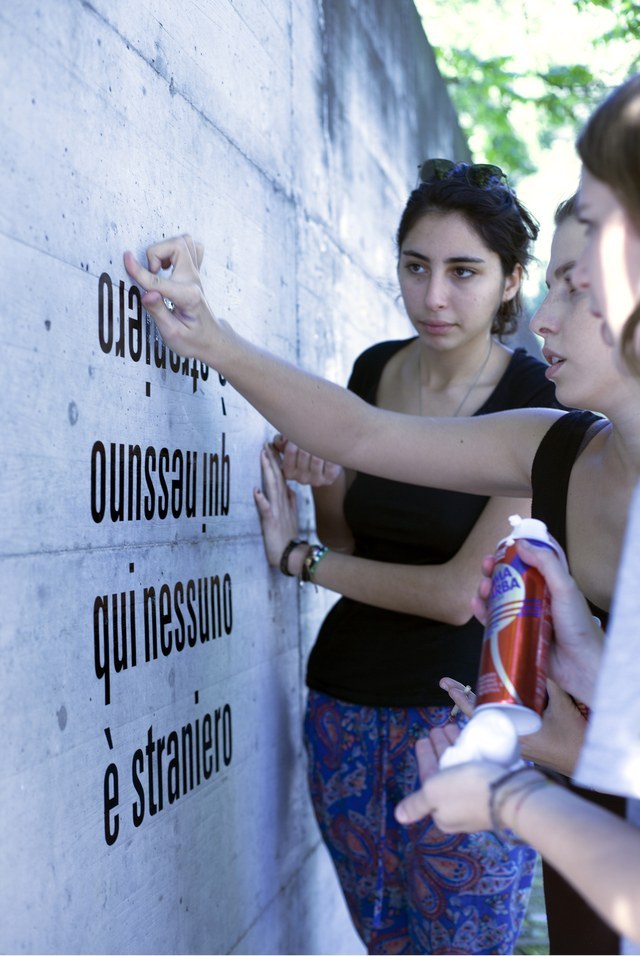
Maps and Periplus become a starting point for interdisciplinary learning, stimulating reflection on the multiple points of view that characterize them. Through activities, we explore experiences of borders, identity, and narratives as a proposal-response to a globalized world that struggles to find a way for dialogue among its multiple diversities.
The workshops are suitable for:
Primary school students
First-grade secondary school students
Second-grade secondary school students.
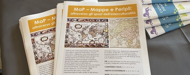
KEY COMPETENCES: A,C,D,E,F,G,H
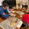
We aim to promote a bidirectional dialogue: from the university to the school and vice versa. This interaction creates a co-learning dynamic, where teachers and students immerse themselves in a concrete and interactive educational experience, based on the principle of "learning by doing".
Considering the environment in which the visit takes place, teachers are informed that only one class at a time can be accommodated. The duration of each visit is about an hour. For schools that request it, the visit will be completed by a laboratory activity of about an hour (in this case, the visit has a maximum duration of about two hours).
Our workshops, seminars, and meetings will take place in museum and institutional spaces enriched by the presence of geographical maps. These places become vibrant and engaging learning environments, where history and geography come to life.
The MaP project doesn't stop here. It is designed to be replicable and continuously evolving, involving over time faculty from various disciplines and universities, including international ones. This initiative represents a dynamic hub where teaching, research, and public engagement intertwine and engage in dialogue with each other, creating a situated learning environment enriched by constant research.
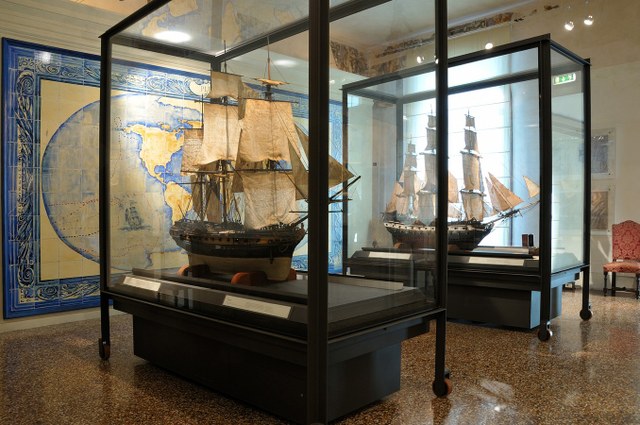
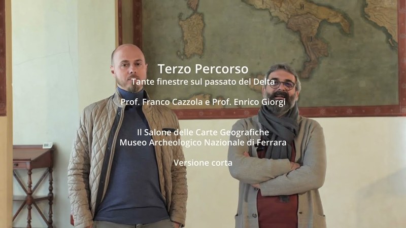
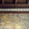
The meetings will take place in public spaces such as university museums and other institutions, especially those that contain geographical maps (e.g., Palazzo Poggi and the National Archaeological Museum of Ferrara which hosts the Map Room). But also city sites, like the Santo Stefano complex.
For information and bookings, write to roberta.bonetti3@unibo.it
KEY COMPETENCES: A,C,D,E,G,H
No events available today
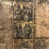
The "Armenian Map" by Count Luigi Ferdinando Marsili (Constantinople 1691).
THE MAP ROOM
The Black Mediterranean
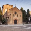
Discovering a hidden map: the Santo Stefano complex
The Adriatic space and its maps