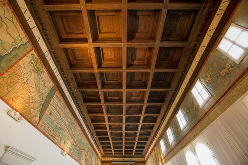
The Hall of Geographical Maps at the National Archaeological Museum of Ferrara was established in 1935 alongside the restoration of Palazzo Costabili to create the museum dedicated to the Etruscan city of Spina. The iconographic setup of the hall, focused on the theme of geographical maps, was desired by Salvatore Aurigemma, then Superintendent and major excavator of Spina, on one hand to illustrate the Delta and its landscape from the ancient world to his era; on the other, to fulfill precise rhetorical objectives of a fascist matrix.
The maps, drawn from atlases and historical cartography published between the sixteenth century and the early decades of the twentieth century, were selected to narrate the history of this complex territory from the Etruscan period to the reclamation projects that led to the discovery of the Etruscan city. Thus, the hall envelops the viewer in a graphic narrative that describes the changes of the complex Delta territory over many millennia and how humans have governed it, eventually transforming it into a completely artificial landscape.
The instructors will engage participants in a reflection between past and present, allowing them to understand the different cultural choices that civilizations succeeding in these places have applied to live and exploit a difficult and changing landscape.
Who it’s for (or Intended for):
The activity is mainly designed for teachers and high school students, but can be adapted for middle school students. The hall's space is large and allows for considerable freedom of movement and interaction among participants. A digital version of the hall will make it possible to extract material useful for carrying out the initiative and also for the creation of educational and informative materials.
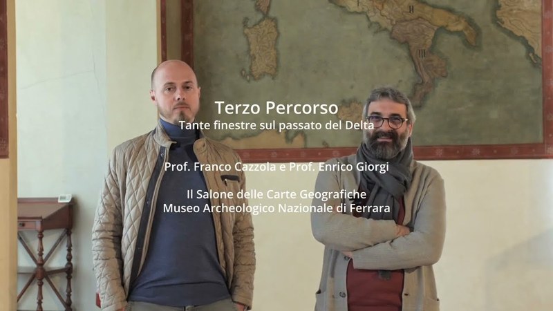
Lecturers:
Professor Enrico Giorgi
Professor Franco Cazzola