RISK ATLAS

Mapping to knowing
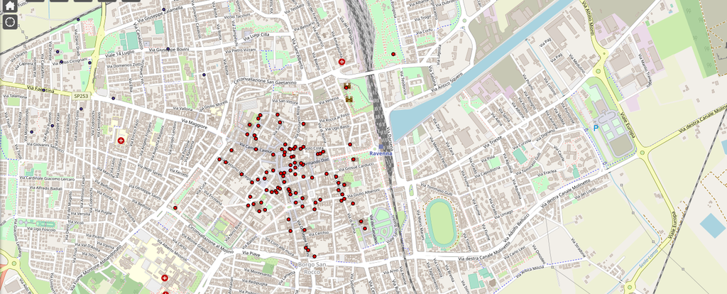
As identified in the research topic of the Department of Cultural Heritage, the "Risk Atlas" is a tool designed to monitoring Cultural Heritage as sensitive element of the urban landscape. The Atlas will be an effective support to local Bodies and Institutions to improve evaluation of the risk factors and their mitigation before emergency occurs.
Cultural Heritage, georeferenced and overlapped to the thematic cartography on the local risk factors, may be observed in relation to the urban pattern and its susceptibility/exposition to specific risks agents. Therefore, the GIS platform may be enriched with specific information on Cultural Heritage and its state of conservation, allowing the Bodies in charge of its protection and safeguarding to have a valid tool for the evaluation of priorities and need in term of risks prevention and mitigation.
The GIS will also be available for the citizens who will be able to familiarize and interact with the map and know the different risks factor influencing Cultural Heritage.
The Risk Atlas is implementing by FrameLAB. Multimedia & Digital Storytelling of the Department of Cultural Heritage and with the support of the Municipality of Ravenna.
Highlights
-
Tsunami map viewer
Official webgis from Department of National Civil Protection, INGV and ISPRA
-
Vincoli in Rete
Ministerial webite on Cultural Heritage subject to protection restrictions
-
WebGIS del Patrimonio Culturale
Georeferenced network on Cultural Heritage in Emilia-Romagna Region
