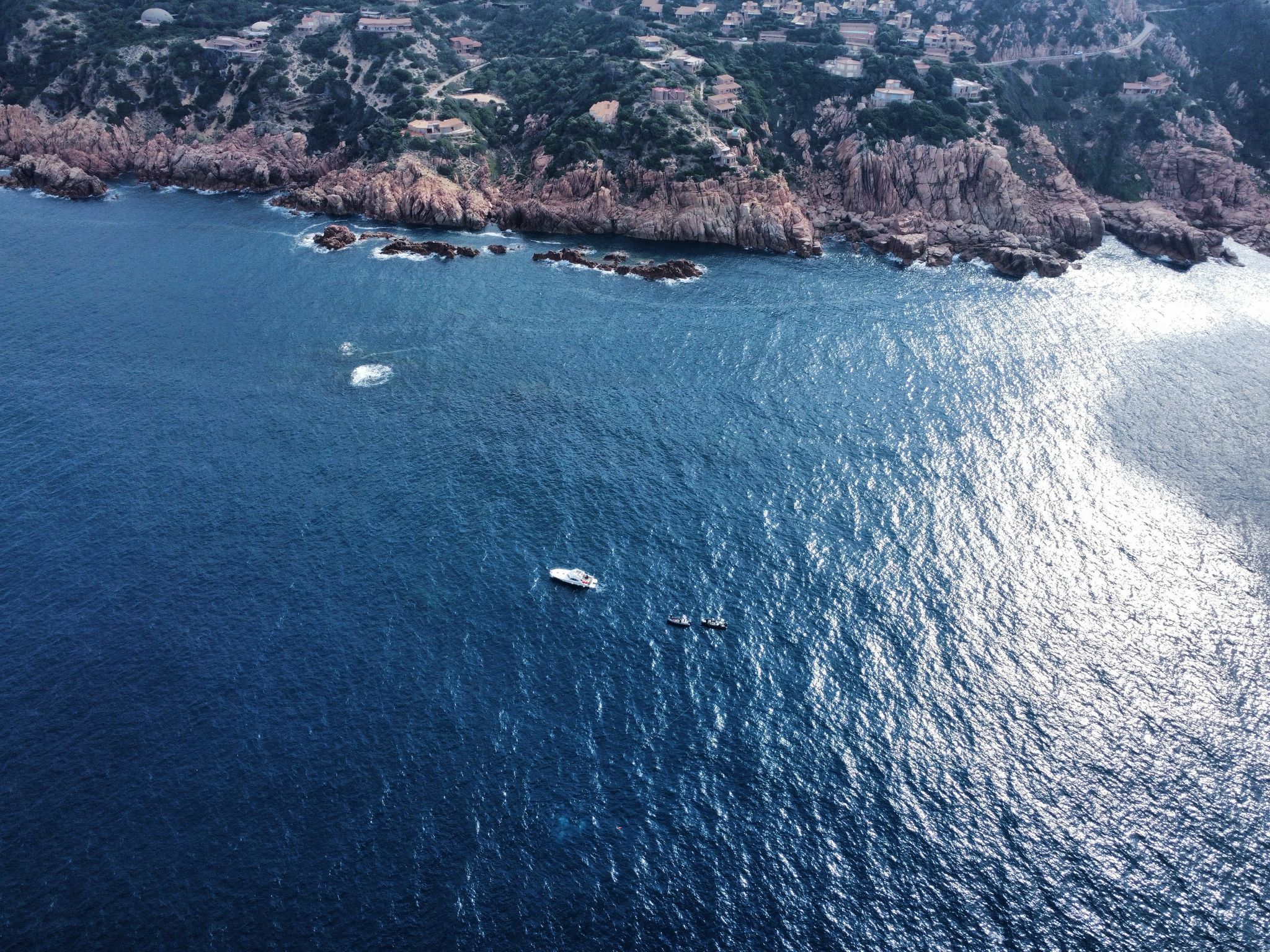
Marine Survey Operations in Costa Paradiso, Sardinia
In October 2024, the MANATEE project conducted a mission in Trieste, utilizing 3D-printed Crustose Coralline Algae (CCA) models to validate underwater photogrammetry techniques. Building upon this, our recent mission in February 2025 in Costa Paradiso, Sardinia, applied these validated techniques to real CCA habitats under more challenging marine conditions.
📍 Location: Costa Paradiso, Sardinia
📅 Duration: One week
🌊 Depth: Approximately 30 meters
✔ Conduct photogrammetric surveys of live Crustose Coralline Algae (CCA).
✔ Establish baseline data for long-term monitoring of CCA growth and health.
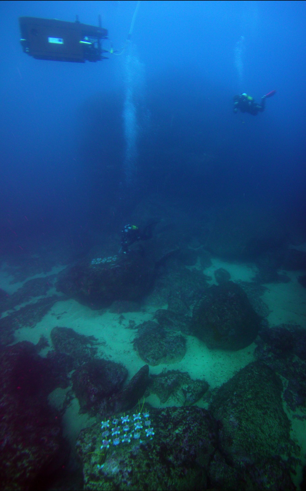
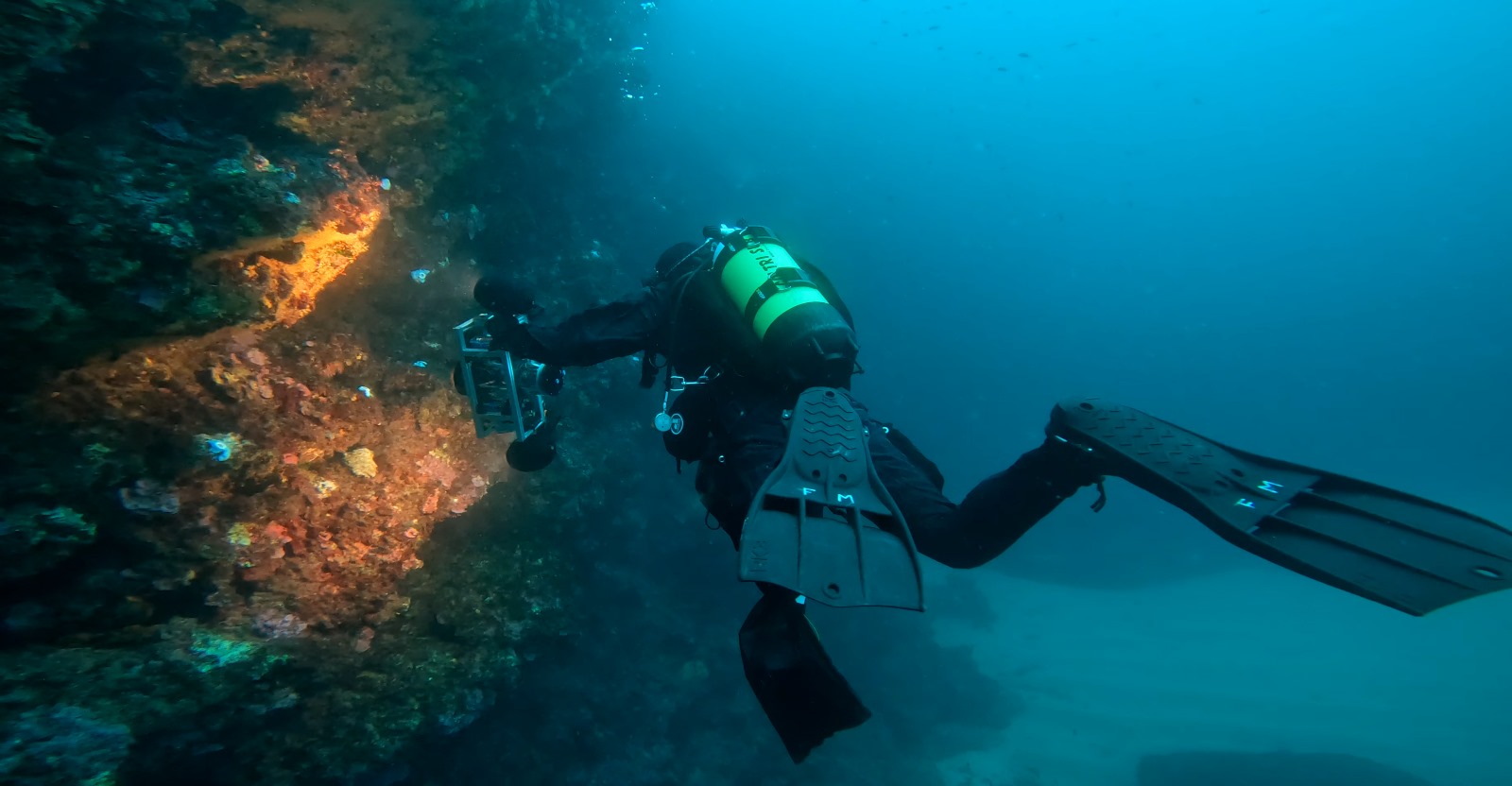
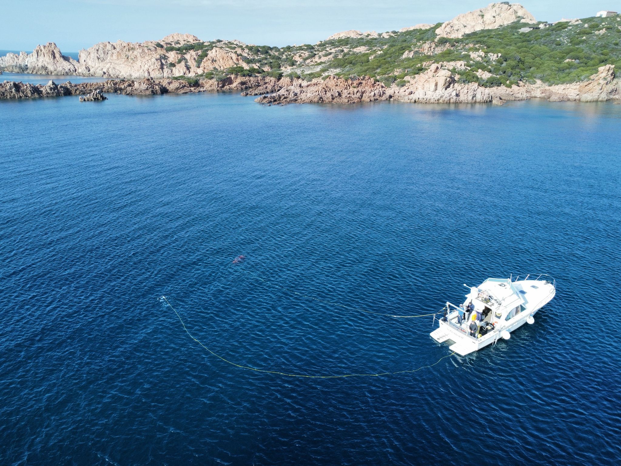
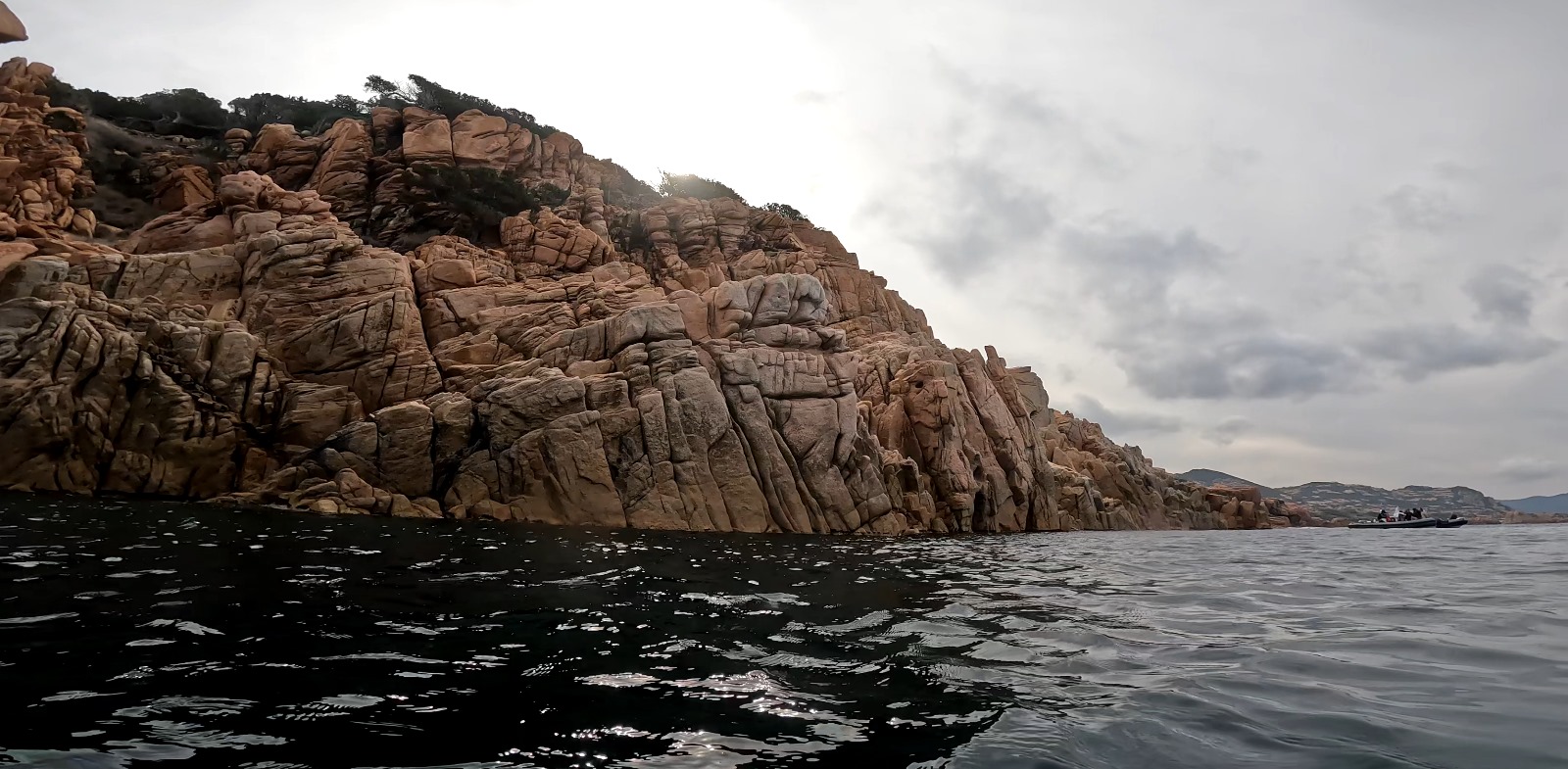
⚓ Access: Reaching the survey sites required navigating cliffs and deploying equipment at significant depths.
🌊 Sea Conditions: The Mediterranean Sea presented higher waves and stronger currents, complicating operations.
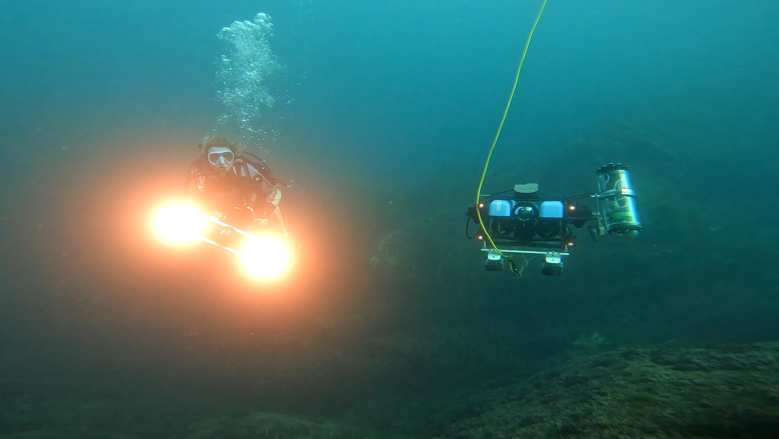
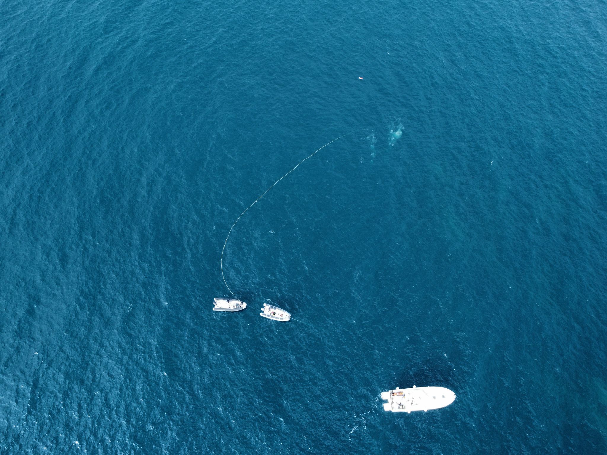
🛥 Vessels: Three boats facilitated transportation of personnel and equipment.
👨🔬 Personnel: Researchers from the University of Sassari (project leads), University of Bologna, and University of Naples Parthenope, along with three professional divers for operational support and safety.
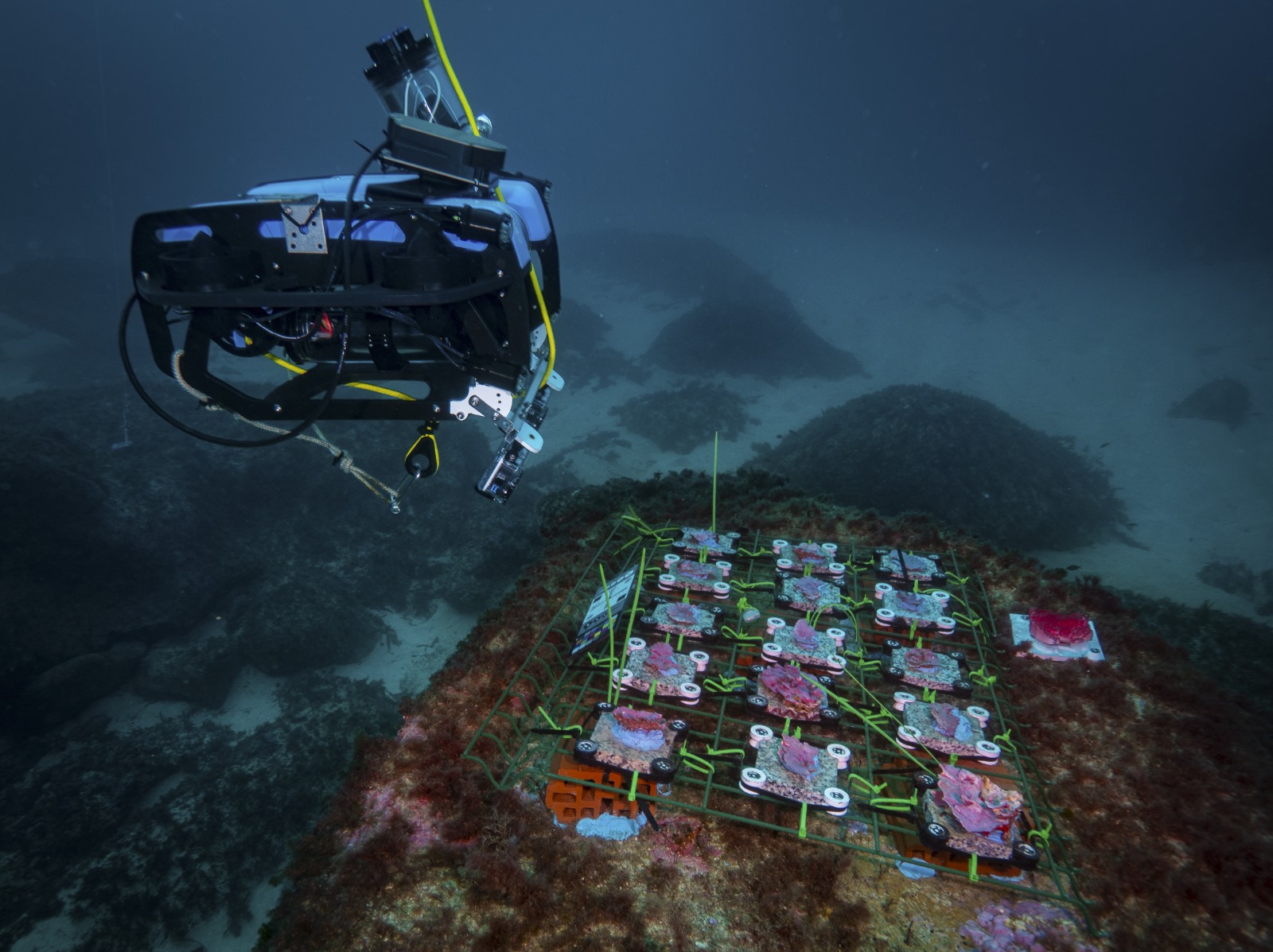
📡 VIP-FROG System: A Versatile Integrated Platform for Geomatics used for high-precision measurements in photogrammetric modeling.
🤖 Blucy UUV: An advanced unmanned underwater vehicle designed for detailed photogrammetric data collection.
🔍 BlueROV2: A remotely operated vehicle used for capturing high-resolution imagery in complex underwater environments.
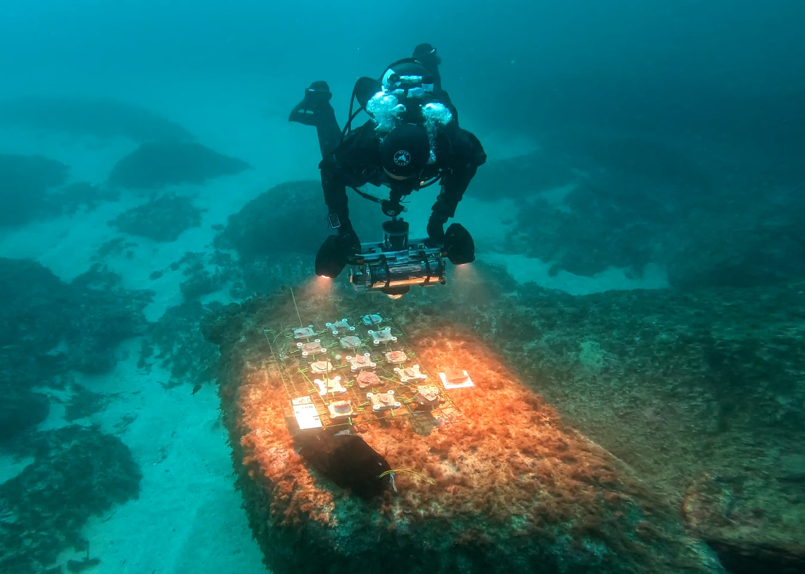
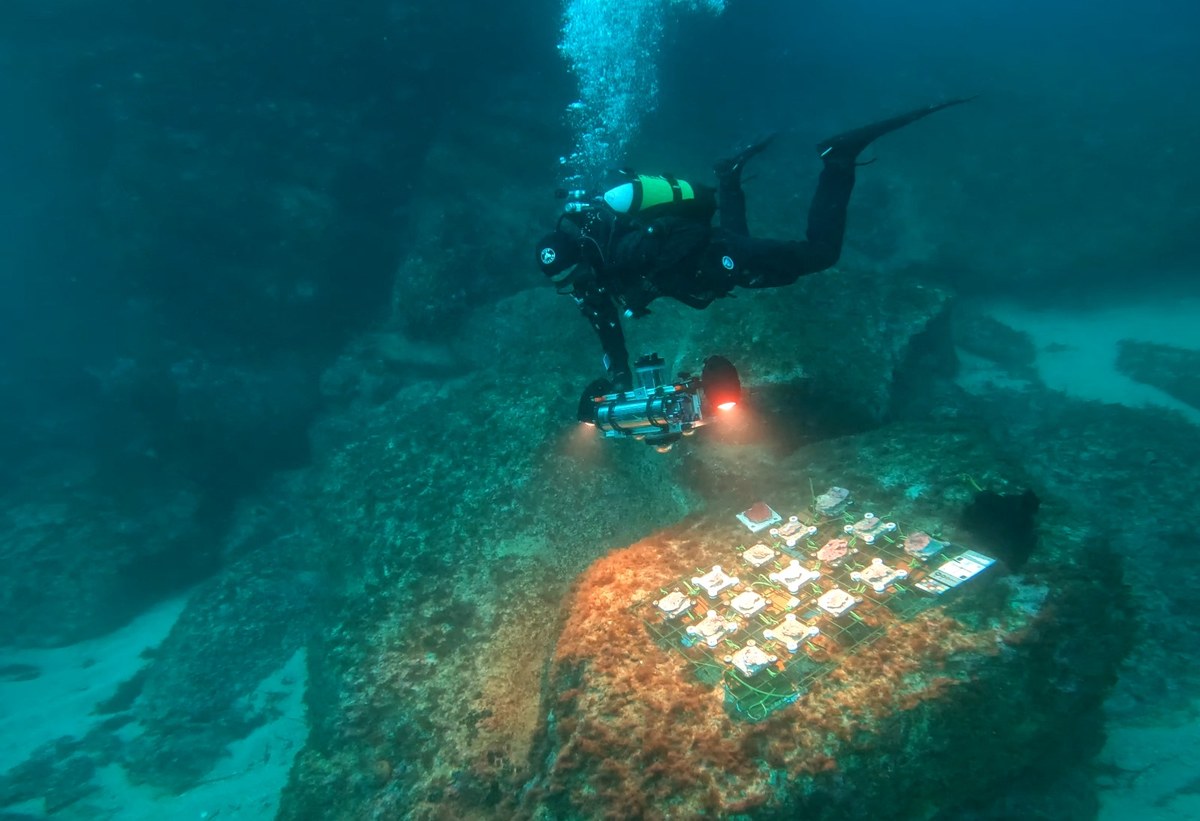
Three platforms hosting live Crustose Coralline Algae were installed:
✔ Two horizontal platforms on the seabed
✔ One vertical platform on a cliff face
Using photogrammetry, the team created detailed 3D models of the algae, with ground truth points placed to enhance accuracy. These models will serve as baselines for future comparisons to assess growth and survival over time.
🔄 In six months, the team will return to perform follow-up photogrammetric surveys. This comparative analysis will help determine growth rates and overall health of the CCAs, providing crucial data for marine habitat monitoring and conservation efforts.
This mission represents a significant step forward in applying integrated geomatics technologies to real-world marine conservation challenges. The experience and data gathered will contribute to future research and the development of effective strategies for monitoring and preserving marine ecosystems.