Date:
Event location: Brindisi
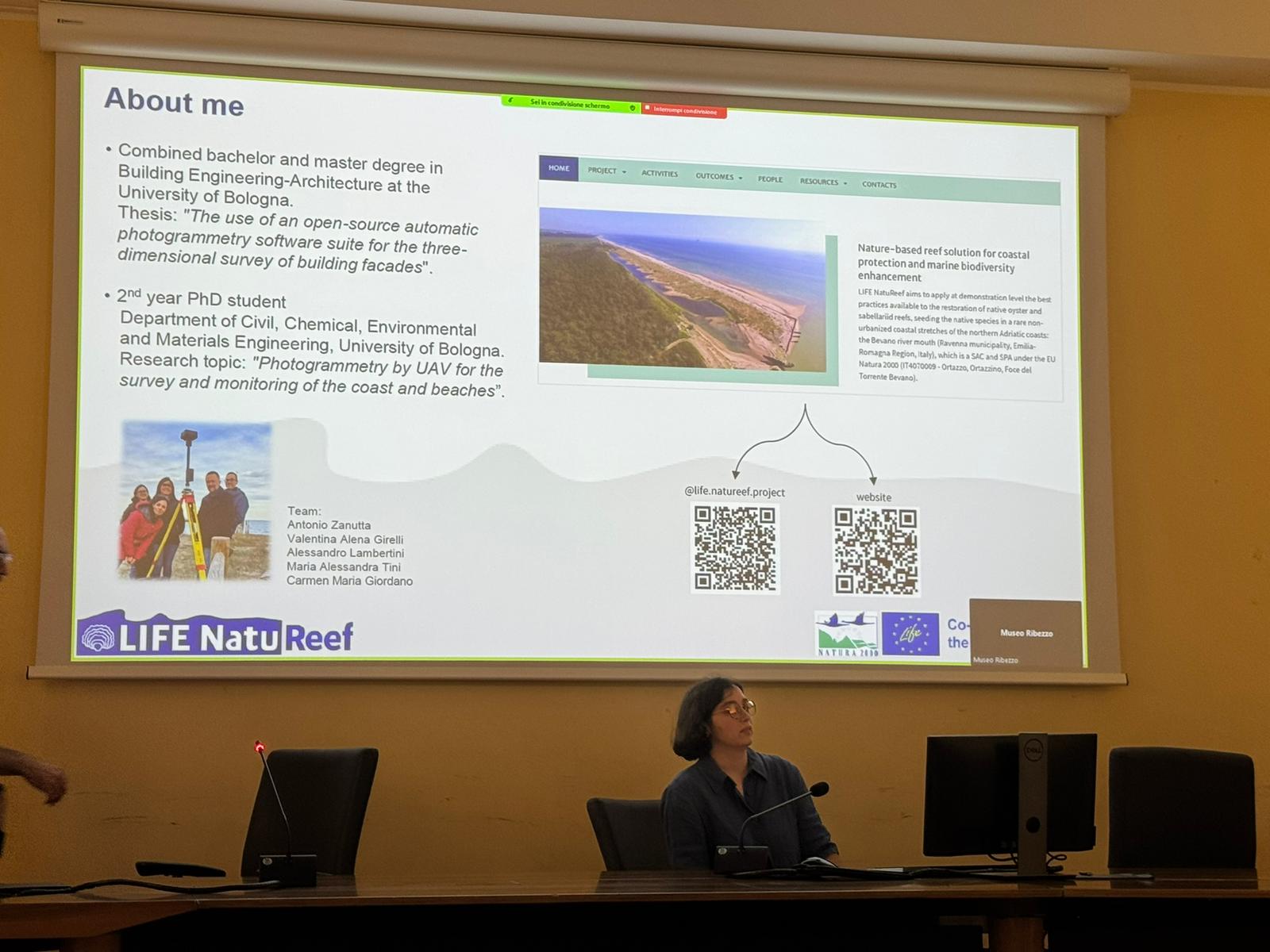
During the 2GG session (2 Days of Geomatics), PhD student Carmen Maria Giordano presented the progress of her research with a talk entitled: “UAV-LiDAR processing: issues and solutions”. The presentation highlighted challenges and possible solutions related to the processing of LiDAR data acquired via drones.
LiDAR technology is one of the techniques employed by the geomatics group of DICAM for monitoring the area of interest and is essential for capturing the morphology of the coastal zone at an appropriate level of detail.
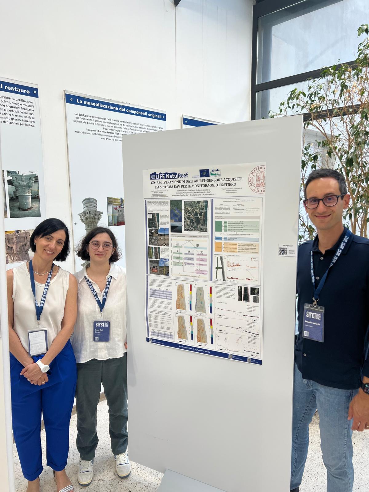
In the poster session of the SIFET conference (Session 1 – Reference Systems and Cartography), the DICAM geomatics team contributed with a poster titled: “Co-registration of multi-sensor data acquired by UAV systems for coastal monitoring”.
The integration and registration of data within a common reference system is a key component of the monitoring activities in the area of interest. Coastal environments are often highly complex due to their strong dynamic nature.
Poster authors: Carmen Maria Giordano, Valentina Alena Girelli, Maria Alessandra Tini, Alessandro Lambertini, Antonio Zanutta, Renata Archetti, Massimo Ponti.