Overview
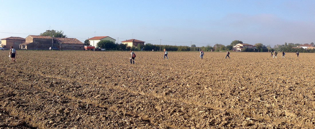
The BI.G.Ar. project aims to innovate archaeological research methodology developing a digital application to integrate representation software (Building Information Model -BIM- and Geographical Information System -GIS-) to document the 4D nature of archaeological evidence as well as their traditional information (i.e. text or photography). This approach can be quicker and more complete than others currently used; it allows a higher degree of collaboration via Web as well as it provides a new frontier for spatial analysis and management of Cultural Landscape. So far, in archaeology, the use of BIM is only applied to architectural analysis and never integrated with GIS. Thus, I will use innovative geospatial environment, developing a new digital workflow of integration GIS and BIM, for managing archaeological data, collected in field works as excavations and surveys. To achieve this target I will develop a dedicated application based on an original programming script, using open source software. Such a research will be possible merging competences and laboratories of the three involved Organizations: the University of Michigan (outgoing phase, supervisor Prof. Nicola Terrenato), the University of Minho (secondment, supervisor Prof. Miguel Azenha), and the University of Bologna (return phase, supervisor Prof. Andrea Augenti). The field data will come from two projects active in the area around two ancient capitals, Rome (Gabii Project, University of Michigan) and Ravenna (Ravenna Landscape Archaeological Project, University of Bologna). This project started in October 2021 and will end in September 2024.