vai al contenuto della pagina
vai al menu di navigazione
Menu
Home
UrbanFarm2026
Apri sottomenù
Main objectives of the challenge
Location and project description
Maps & Graphics
Jury
Final Scores 2026
The Challenge
Apri sottomenù
About the Challenge
UrbanFarm2025
UrbanFarm2024
UrbanFarm 2023
UrbanFarm 2022
UrbanFarm 2021
UrbanFarm 2020
UrbanFarm 2019
FAQ
WEBINARS
Apri sottomenù
1st RENDEZVOUS
2nd RENDEZVOUS
3rd RENDEZVOUS
4th RENDEZVOUS
5th RENDEZVOUS
6th RENDEZVOUS
7th RENDEZVOUS
8th RENDEZVOUS
9th RENDEZVOUS
10th RENDEZVOUS
Agenda 2026
Past Experiences
Photogallery
Press
You are here:
Home
/
UrbanFarm2025
/
Maps & Graphics
Share
Facebook
Linkedin
Twitter
Invia ad un amico
Maps & Graphics
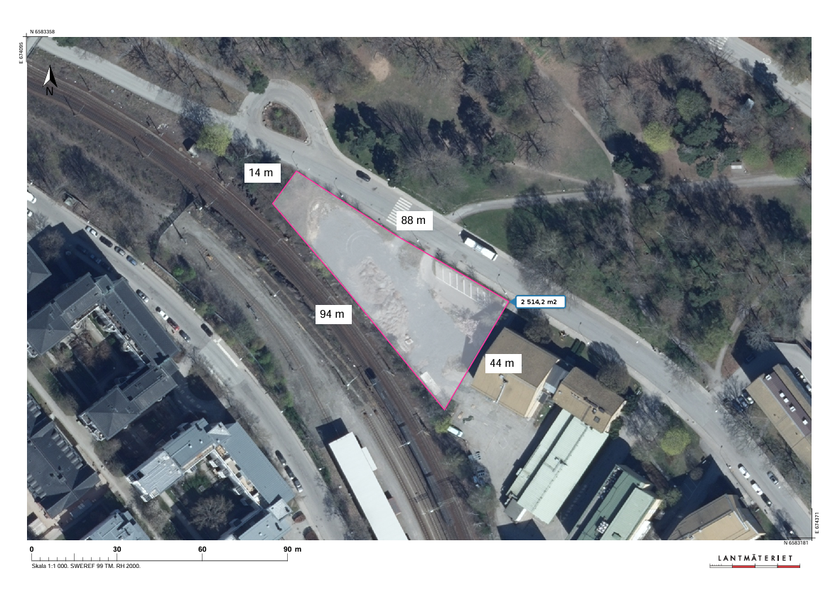
Map of the area with measurements.
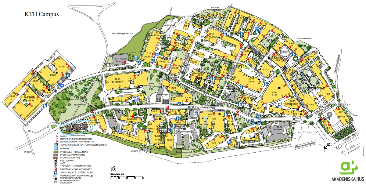
Map of the KTH Campus with cardinal points. The case study area is demarcated by a light blue outline on the bottom-left of the map.
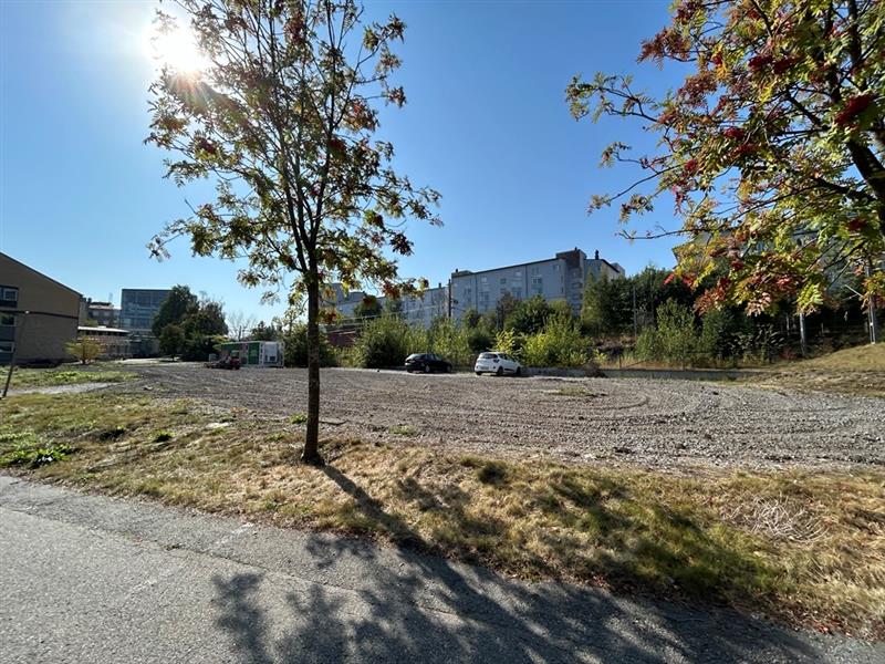
Photo of the site standing from Drottning Kristinas väg.
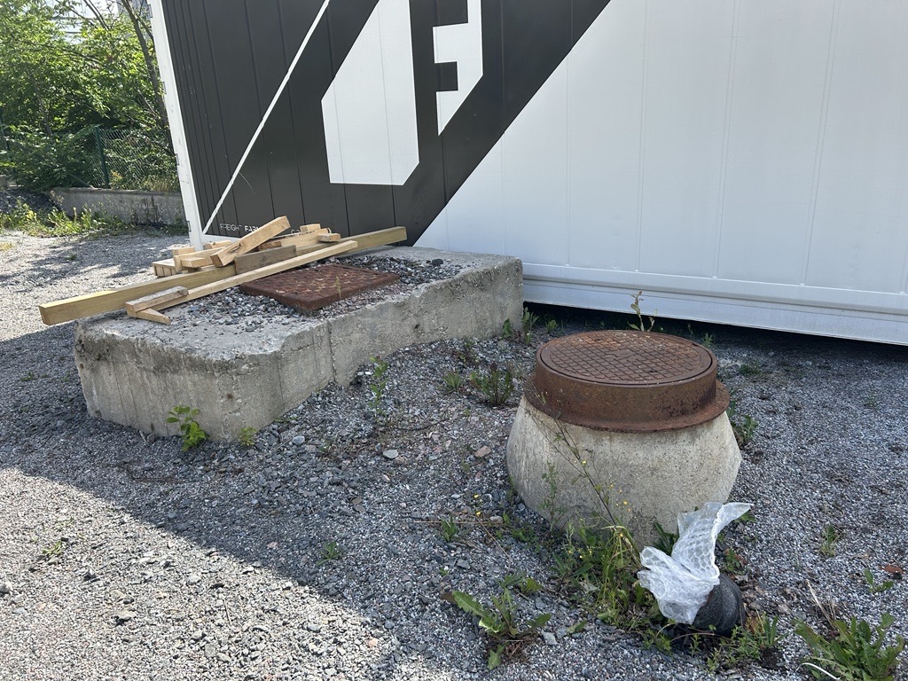
Inspection well connected to Stockholm City’s main sewer system
Torna su