Solarolo
Bronze Age settlement of Via Ordiere, Solarolo (RA).


BRONZE AGE SETTLEMENT, VIA ORDIERE, SOLAROLO (RA)
Mission coordinators/leaders:
Activities:
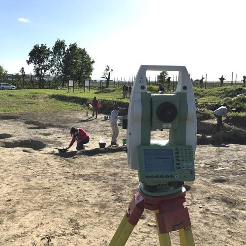
Surveys, core samplings, stratigraphic excavations, archaeobotanical and micromorphological analyses, educational activities for schools, experimental archaeology and experimental archaeology demonstrations for the public.
Chronology:
Settlement dating back from between the end of BM1 and the end of BR2 (1650-1150 BC).
Description:
The village, divided into several settlements clusters covering an area of approximately seven hectares, stands on top of an ancient river ridge of the Santerno River, known as the Paleodosso di Bagnara. It is located in the area between the Sillaro and Senio rivers, near the Santerno one. The latter, with its meandering course, bordered the village to the south and west and played a crucial role in its development.
Among the different settlement areas, the central one (named Sector 1) is located in the southern part of the village and is undoubtedly the best-preserved area of the entire site. In fact, it has been partially affected by a shallow and invasive plowing system, allowing the identification of the oldest phases of occupation of the settlement. A recent expansion in the sector has also allowed the identification of the more advanced phases of its exploitation and life . Thanks to core sampling carried out in this area, it has been possible to recognize the presence of a ditch to the north, with a “buffer zone” located between the settlement and the river. The chronological period of life and exploitation of the village of Solarolo is defined by the transition from rectangular dwellings built on elevated platforms to subsequent rectangular structures, but with floors laid directly on the ground.
The investigations brought to light a large quantity of ceramic sherds, linked to the Terramaricola and Grotta Nuova facies as well as a peculiar mixture of the two, evidence of local ceramic manufacturing.
Further information:
For more information, click here or visit the Facebook page!