These surveys are part of WP2 - Habitat and Biodiversity Baseline, Monitoring, Evaluation, and KPIs.
Date:
In early March 2024, the LifeNatuReef teams returned to the Bevano River mouth to conduct further surveys. The surveying team used the DJI Matrice 300RTK drone to collect data across the entire project area, from north to south, capturing the current state of the beach before the installation of the project barriers. This will serve as the fundamental reference for monitoring, carried out through future survey activities conducted periodically throughout the project’s duration, analyzing the area's evolution over time.
The DJI Matrice 300RTK unmanned aerial vehicle was equipped for the occasion with several high-performance sensors: a photogrammetric optical camera with a 45-megapixel full-frame sensor and a LiDAR sensor capable of recording up to 240,000 three-dimensional points per second. On the ground, the coordinates of a network of points were recorded using GNSS Topcon Hiper V equipment.
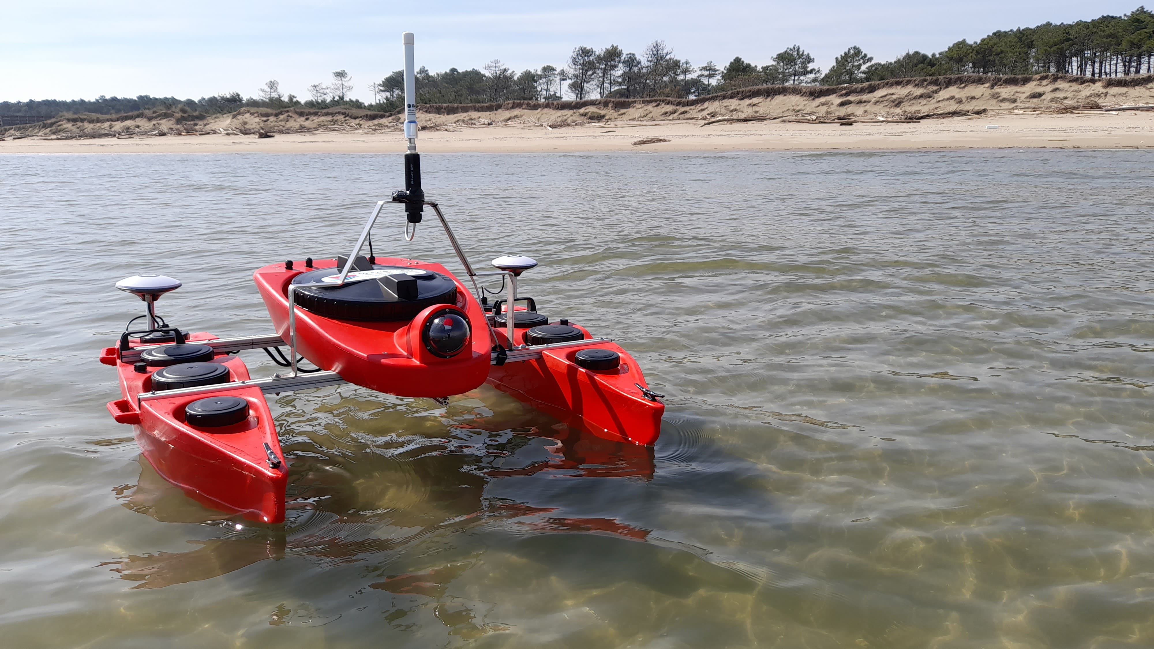
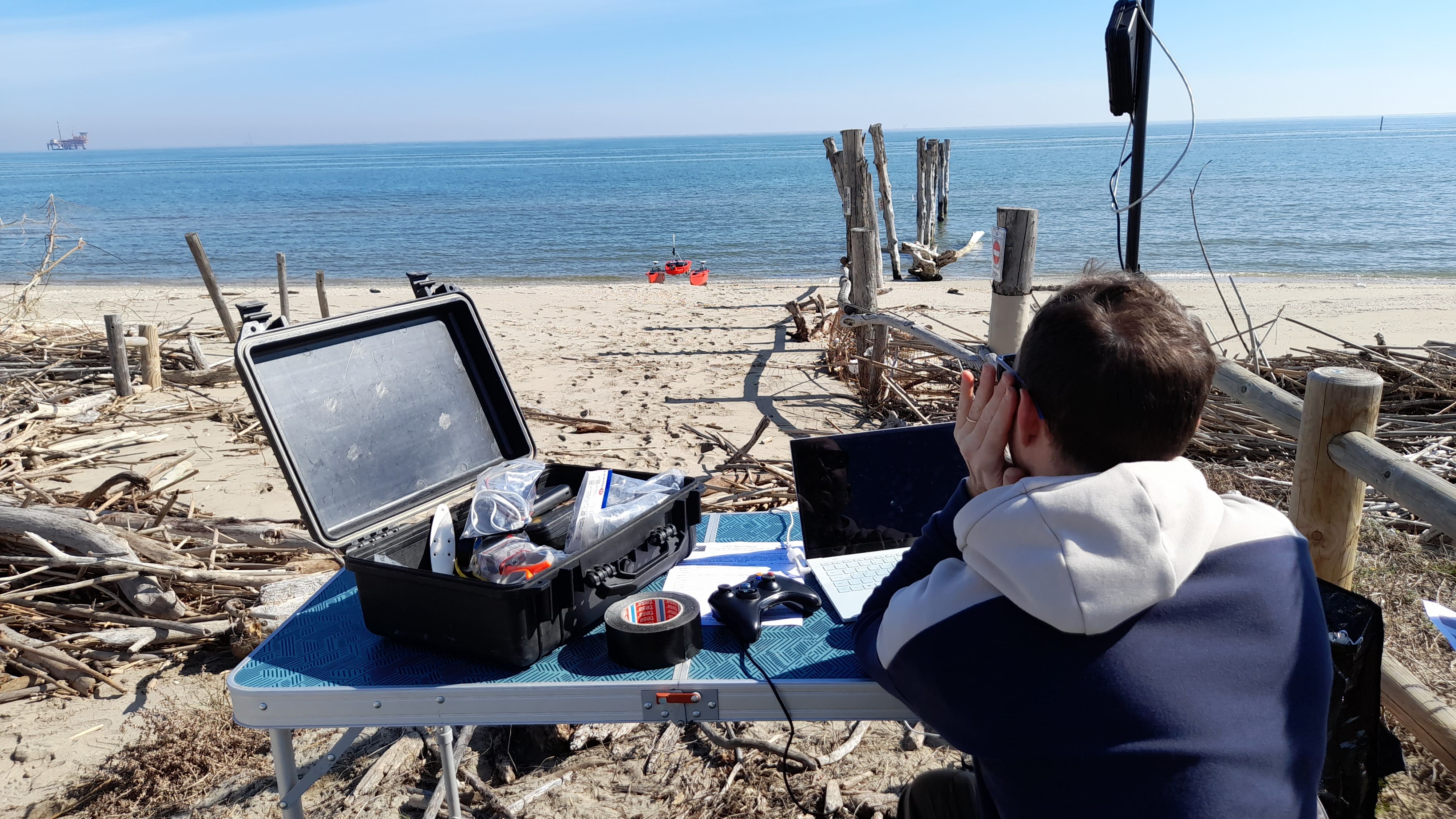
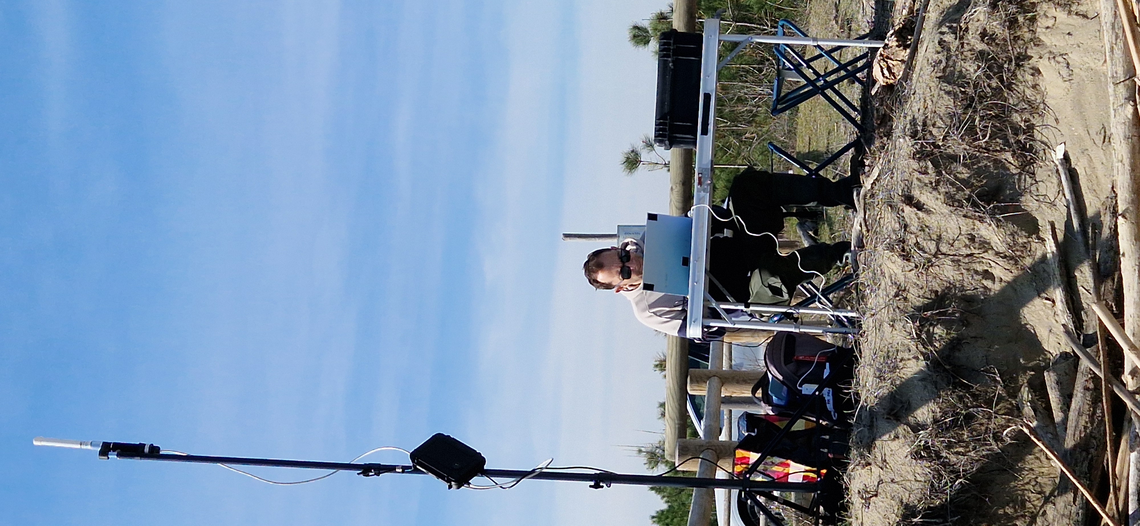
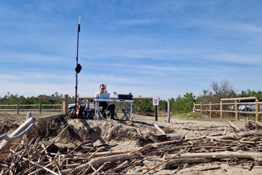
Researchers from PROAMBIENTE conducted surveys of the submerged part using the OpenSWAP aquatic drone to perform automated geophysical surveys of the seabed. By planning navigation lines to be executed, the vehicle can accurately follow the route and collect data from the sensors mounted on board. Bathymetric and seismic-stratigraphic data were recorded, which will help reconstruct the digital terrain model of the submerged part and estimate the characteristics of the bottom sediment.
These surveys are part of WP2 - Habitat and Biodiversity Baseline, Monitoring, Evaluation, and KPIs and are an integral part of the analysis of the site's condition before the barrier installation. Together with the data collected from the emerged part of the study area, they will be used to model the various characteristics of the sites, including morphology, vegetation cover, coastline variation, and sand distribution, which can vary seasonally, showing areas of erosion and deposition.
These monitoring and site condition analysis phases will be carried out later during the various phases of the NatuReef project.