Tow days of collaborative endeavors, DICAM Topographers, PROAMBIENTE Oceanographers, and BiGEA Geologists Unite for the Survey Expedition at Bevano's Estuary"
Date:
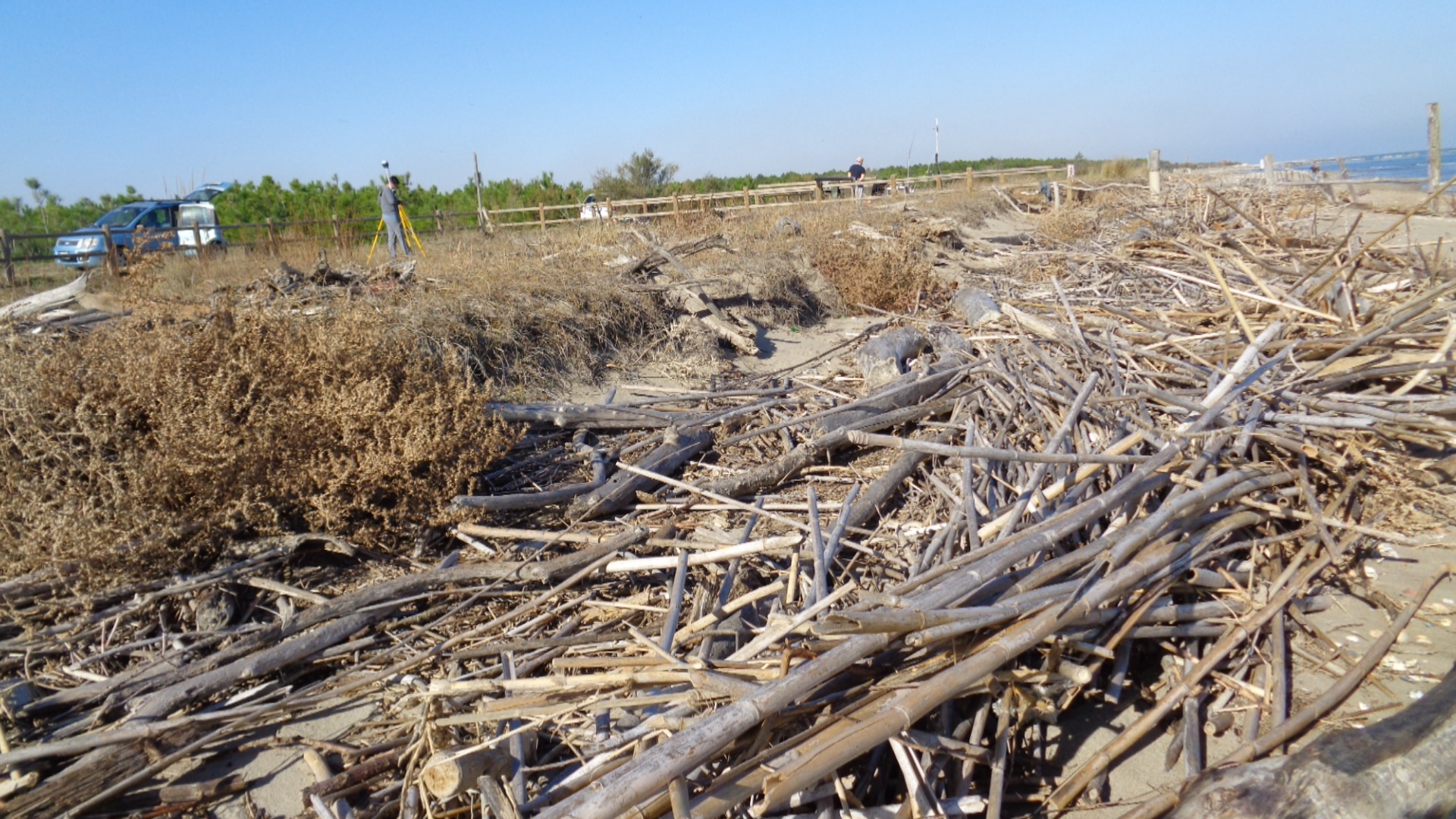
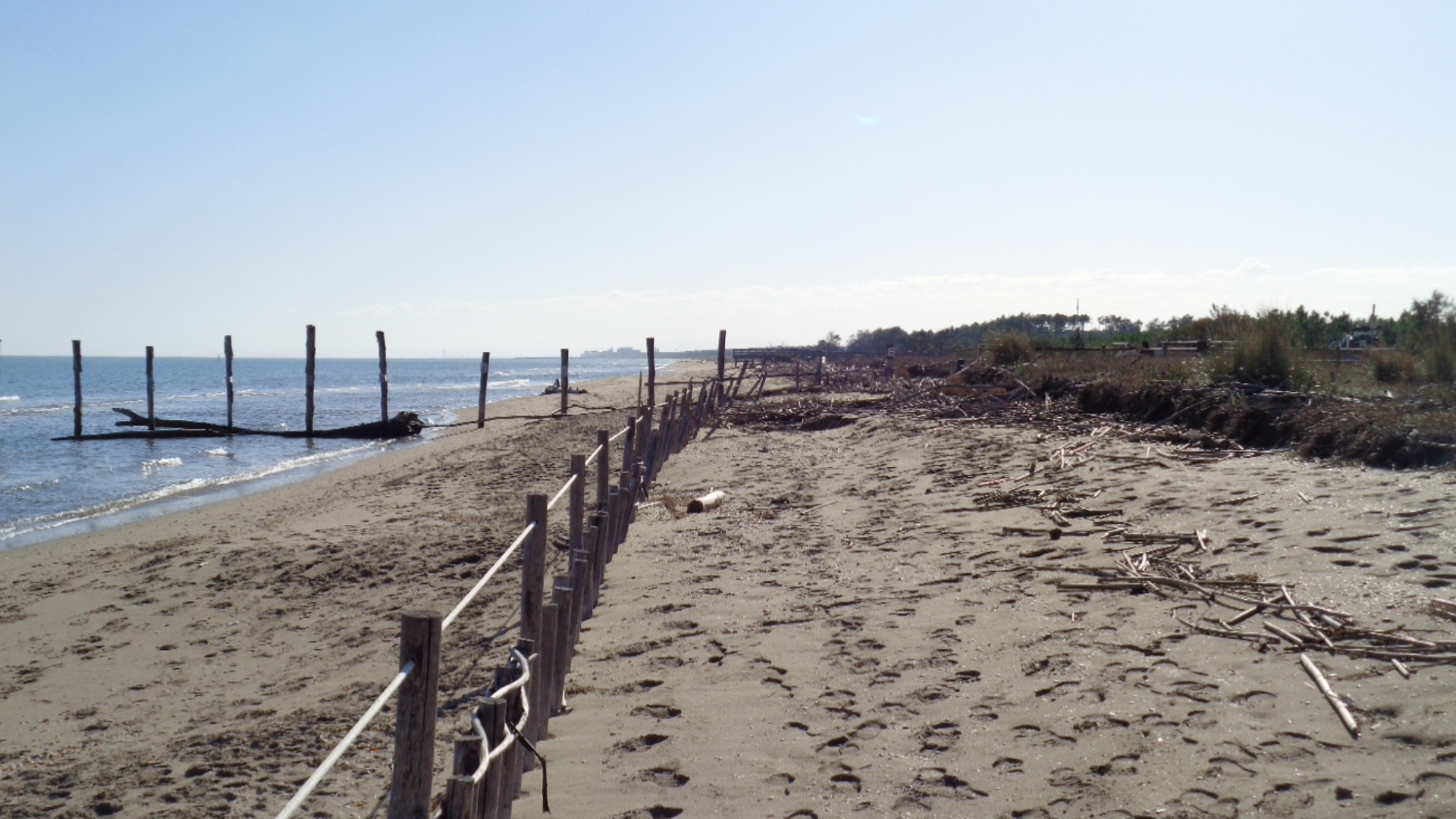
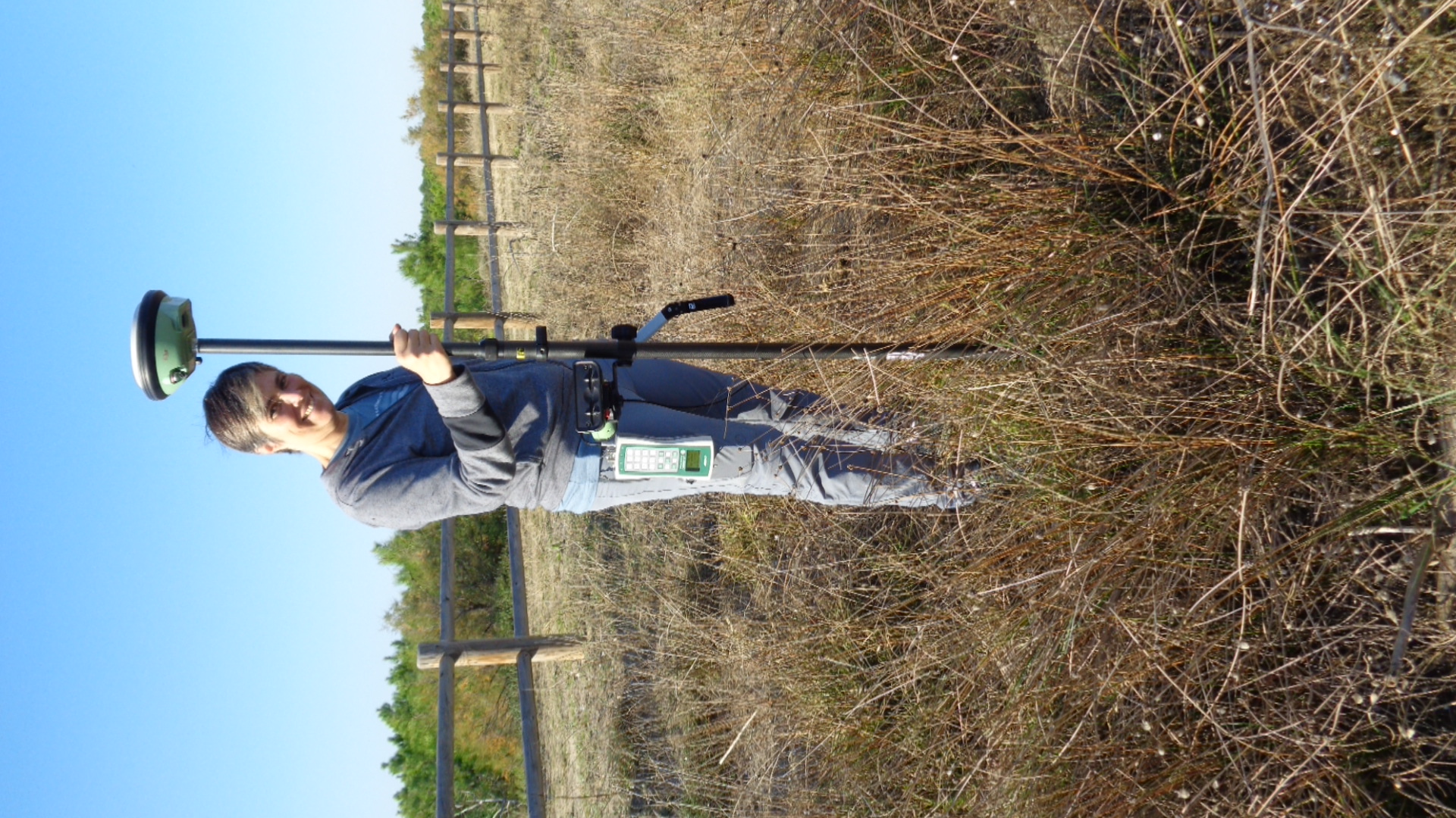
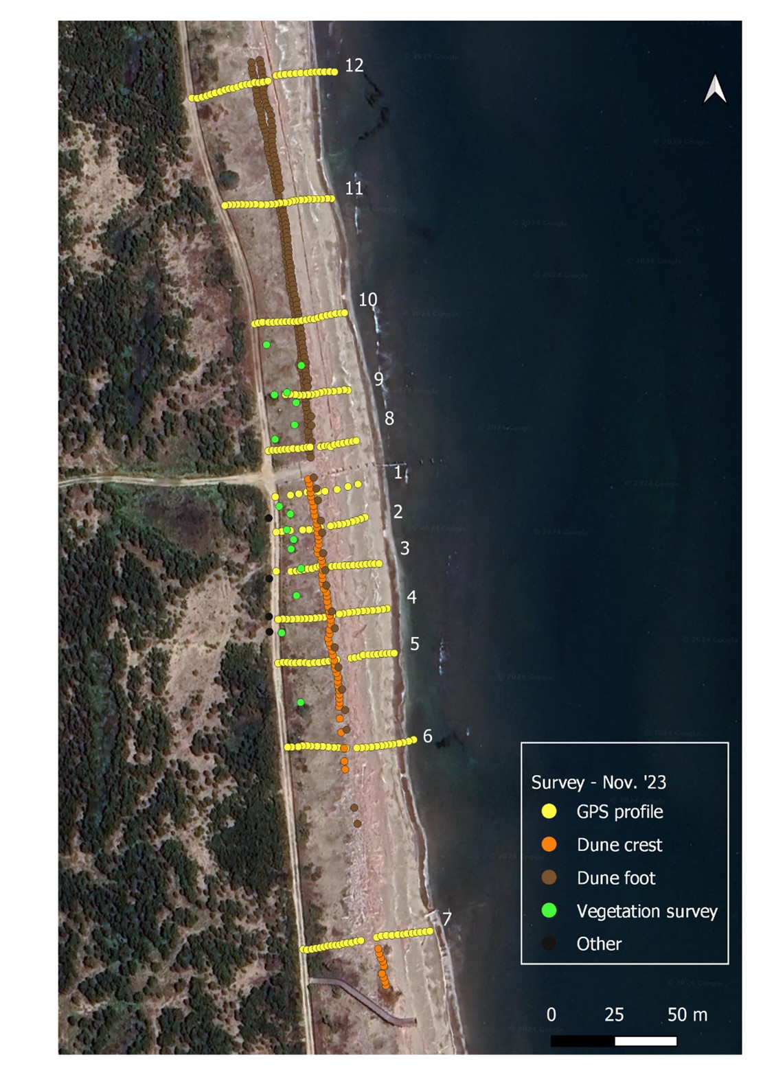
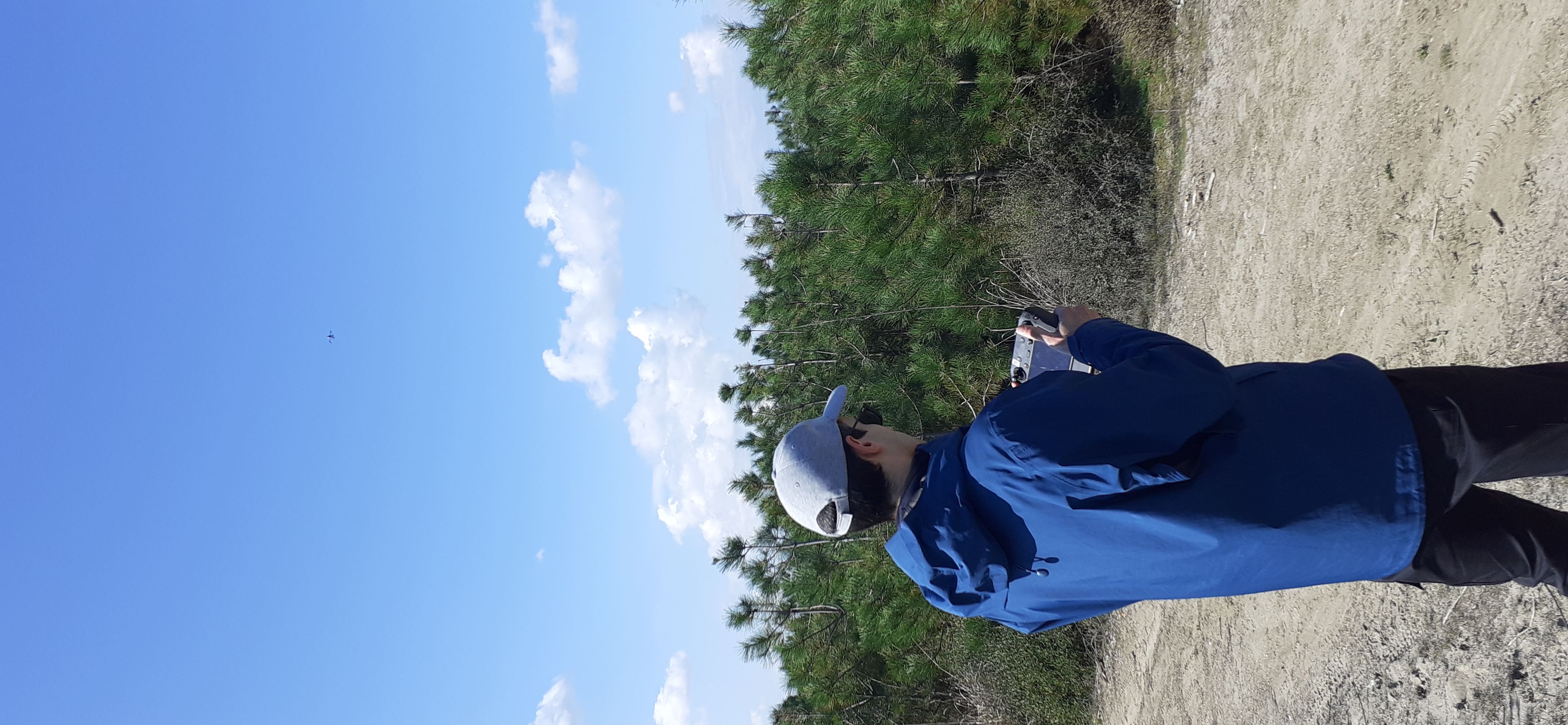
In November, Beatrice Giambastiani and Sonia Silvestri, members of the Integrated Geoscience Research Group – IGRG at UNIBO (Ravenna Campus), conducted an initial topographic survey utilizing GNSS technology to monitor the beach-dune system. They acquired 12 profiles perpendicular to the coast, extending from the shoreline to the back of the dune, including the crest and the foot of the dune, totaling 522 points with sub-centimeter precision. These data will enable a detailed characterization of the beach and dune morphology with high accuracy (Fig. 1). The initial depiction of the system serves as a baseline for future reference, facilitating a comprehensive understanding of beach evolution. Additionally, vegetation within the dunes was monitored to identify indicators associated with existing biomass. The surveys conducted by the Geoscience group seamlessly integrate with those of the Geomatics Group, which employs drones and GNSS technology.
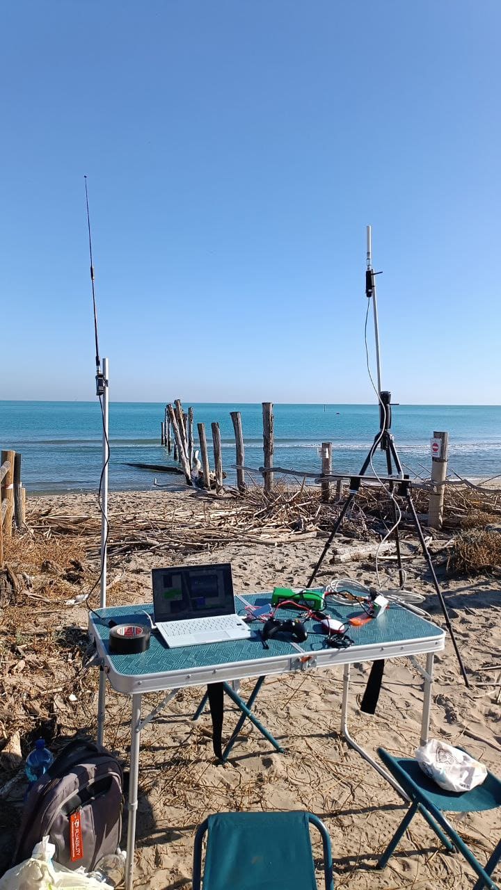
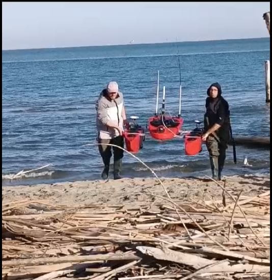
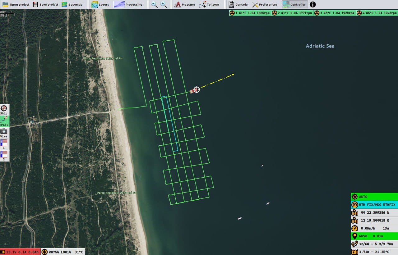
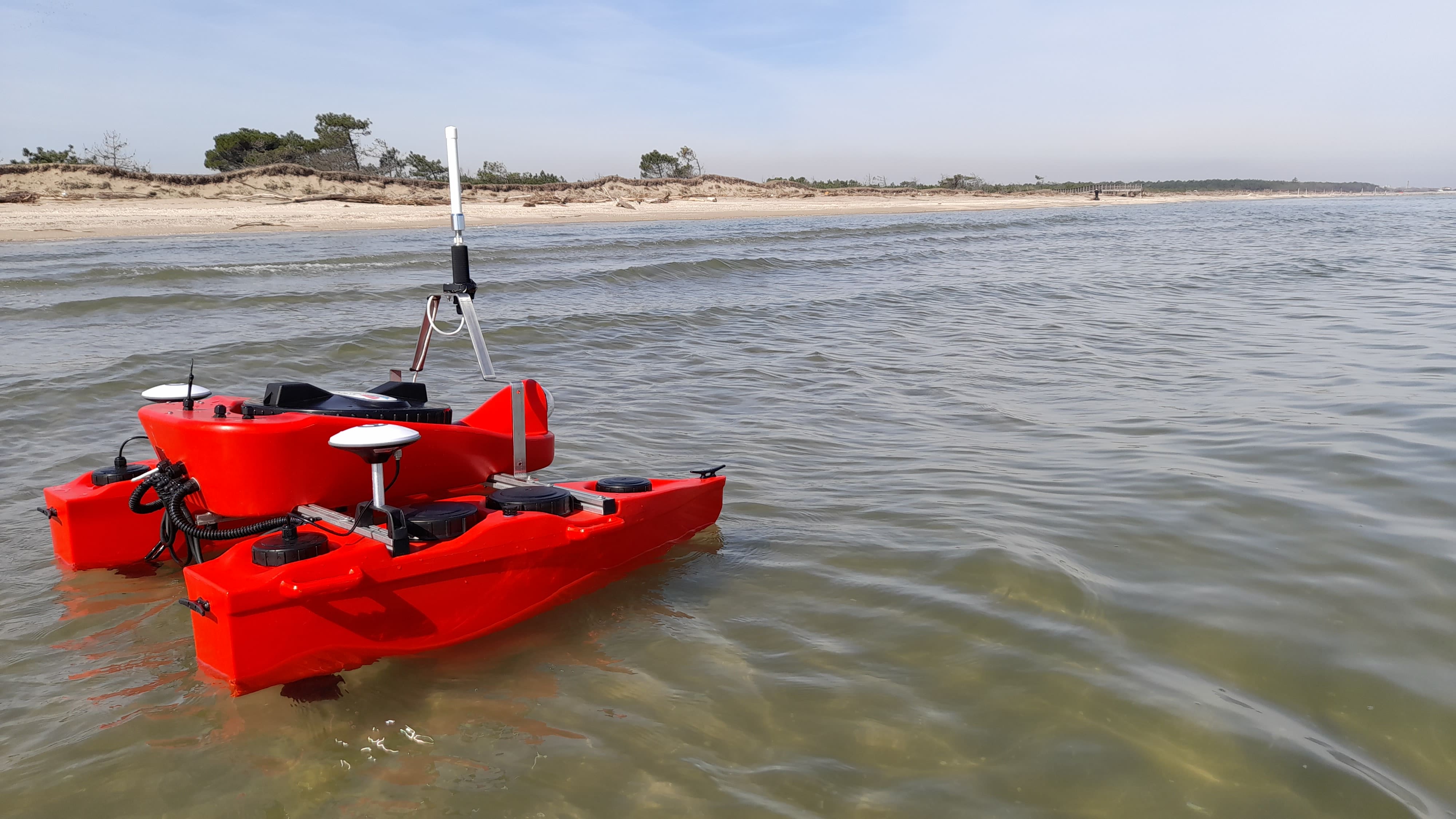
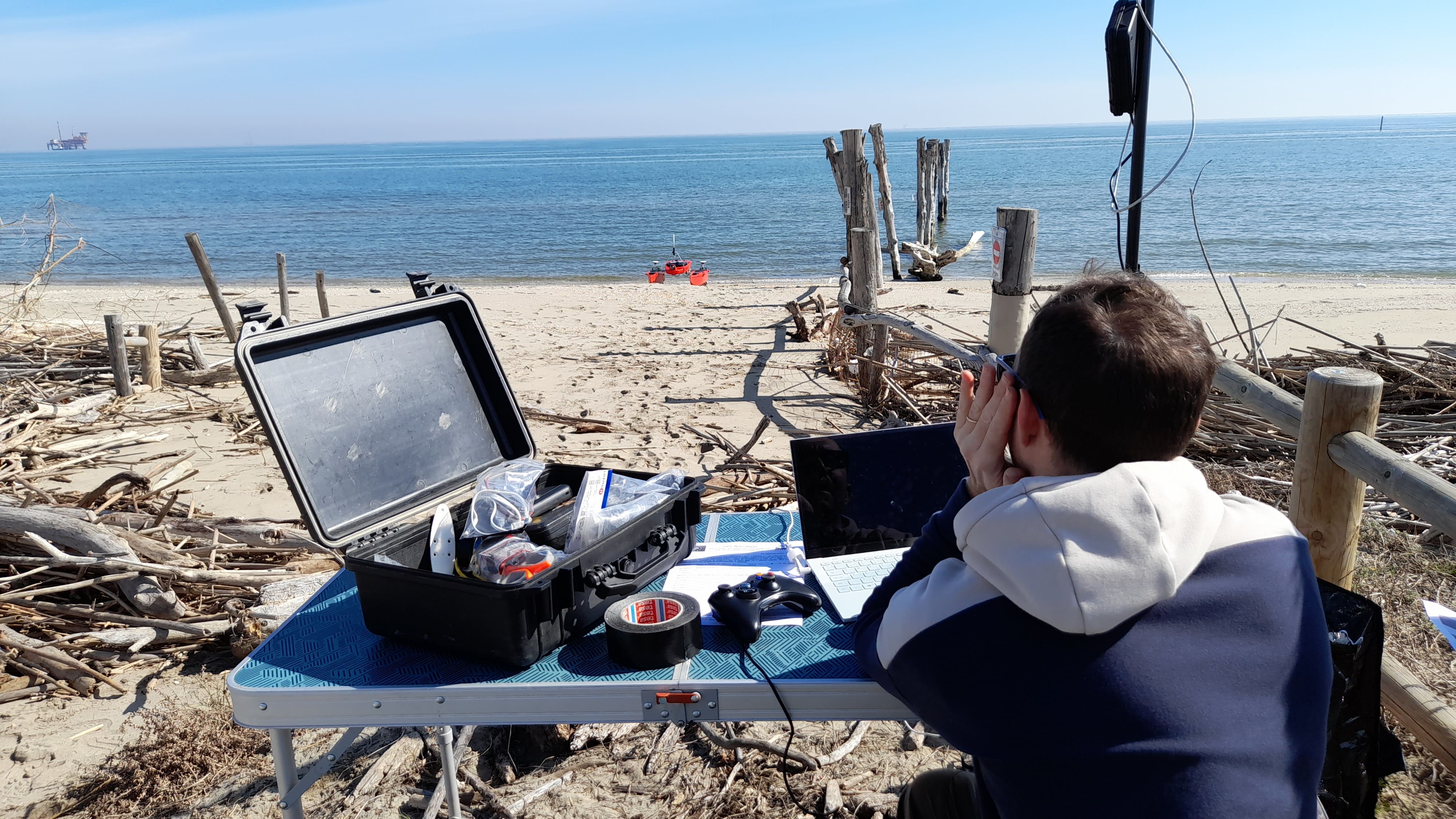
Under the coordination of Fabrizio Del Bianco, the PROAMBIENTE team acquired preliminary bathymetric data using a Single Beam Echosounder (SBE) mounted on the OpenSWAP vehicle. PROAMBIENTE is tasked with conducting geophysical measurements in water, offering insights into seabed characteristics from various perspectives. Detailed morpho-bathymetric maps generated from this data will support engineering studies and modeling by other NatuReef project partners, aiding in the optimal positioning of project infrastructure.
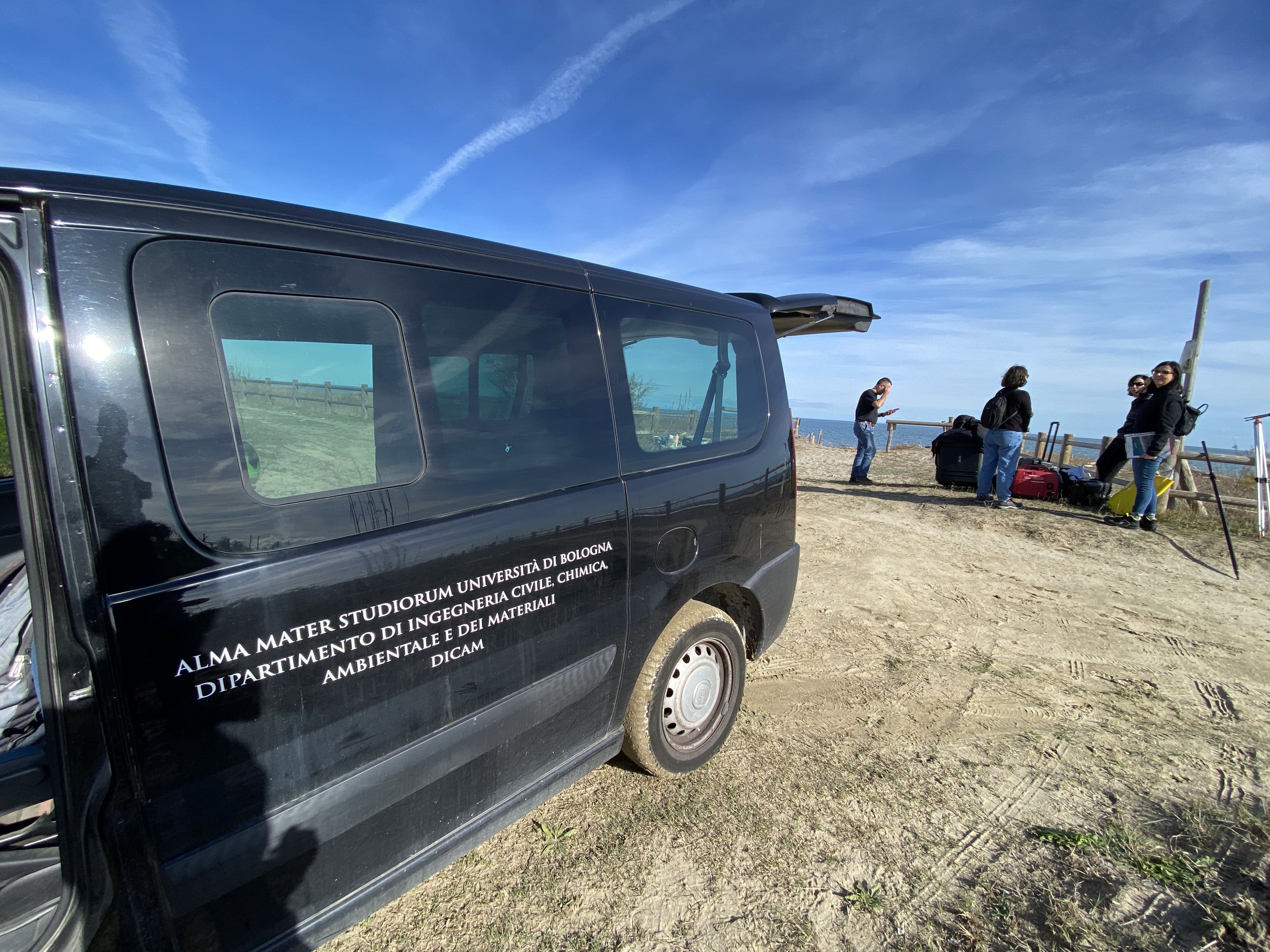
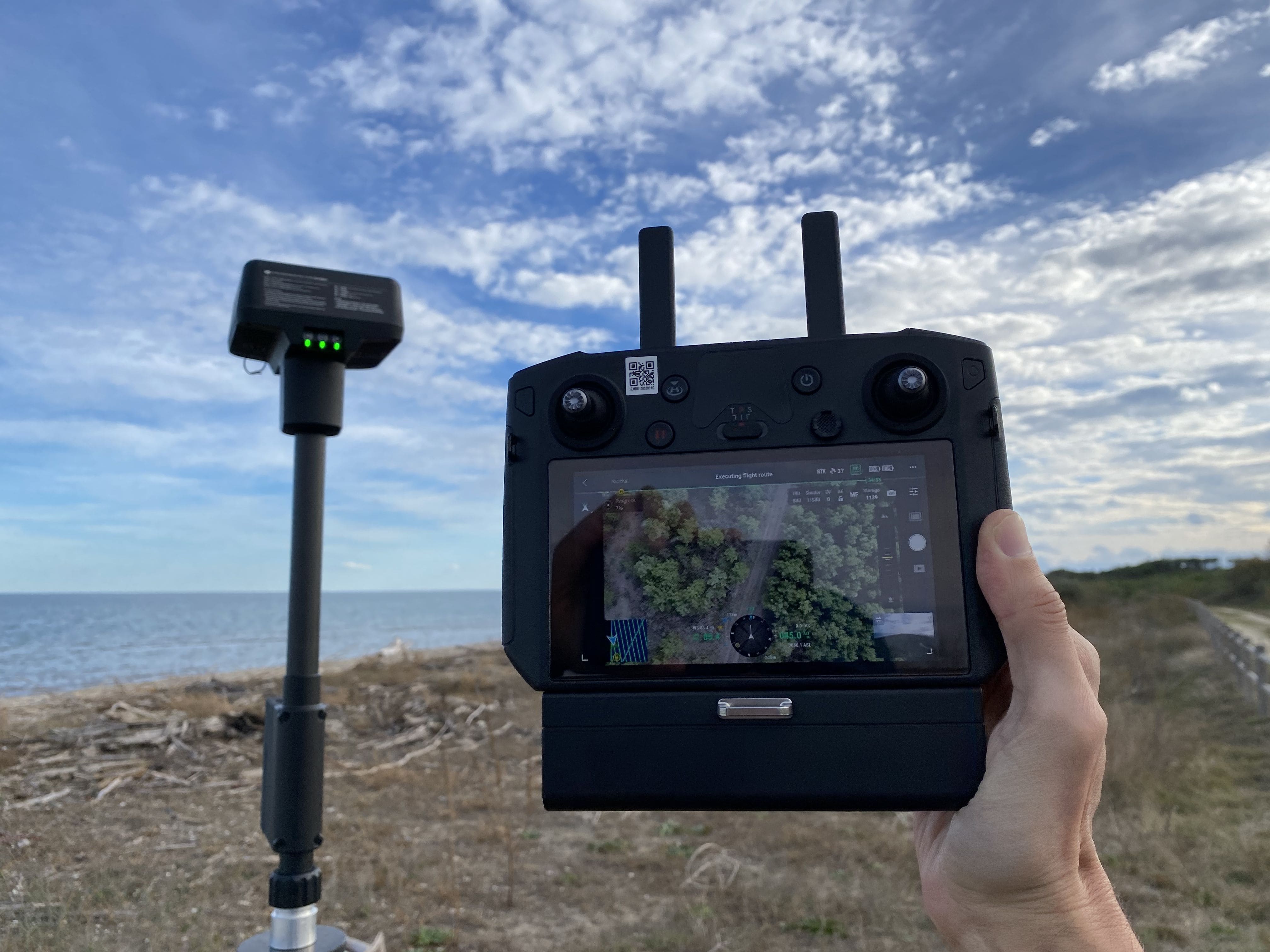
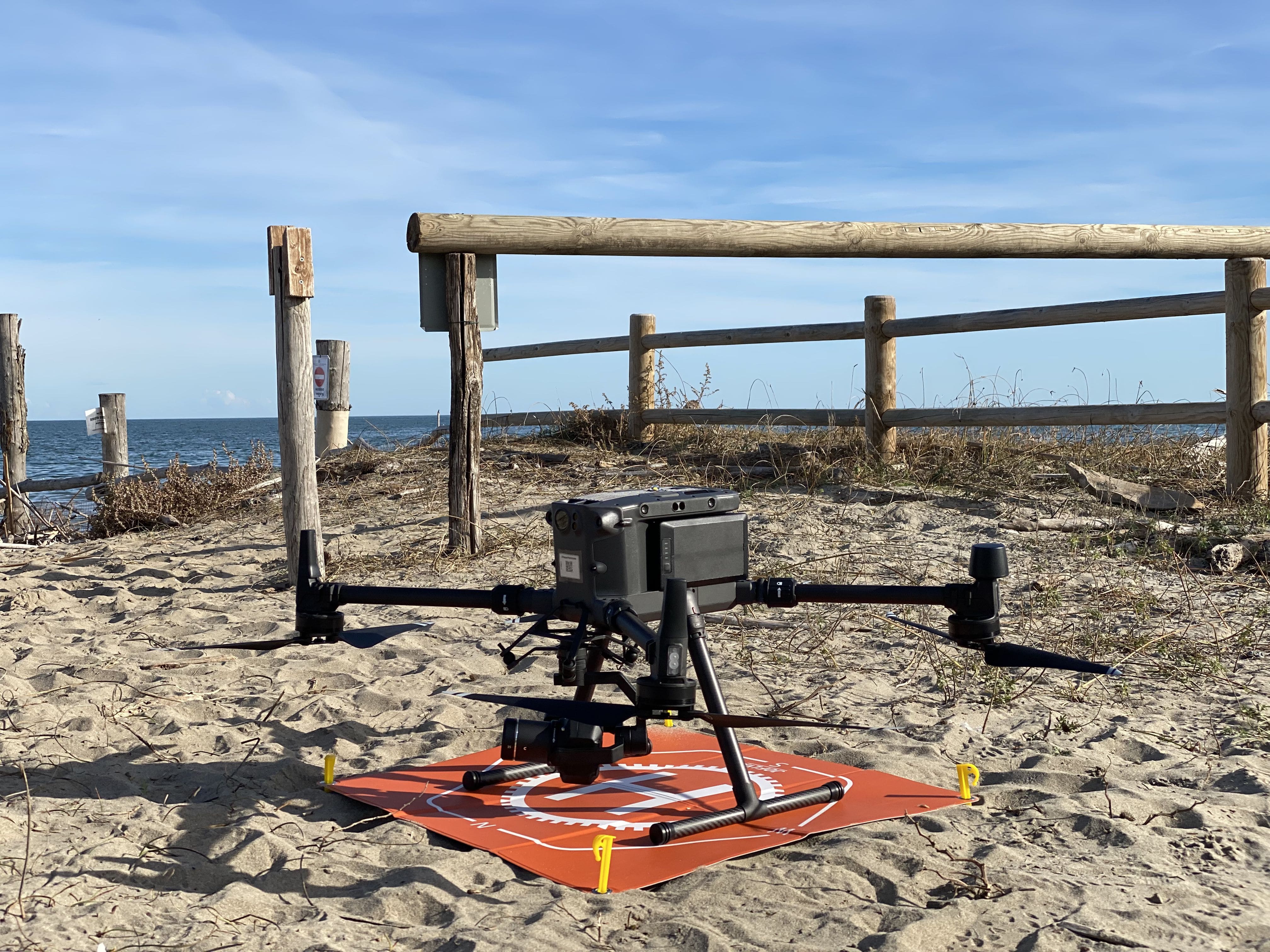
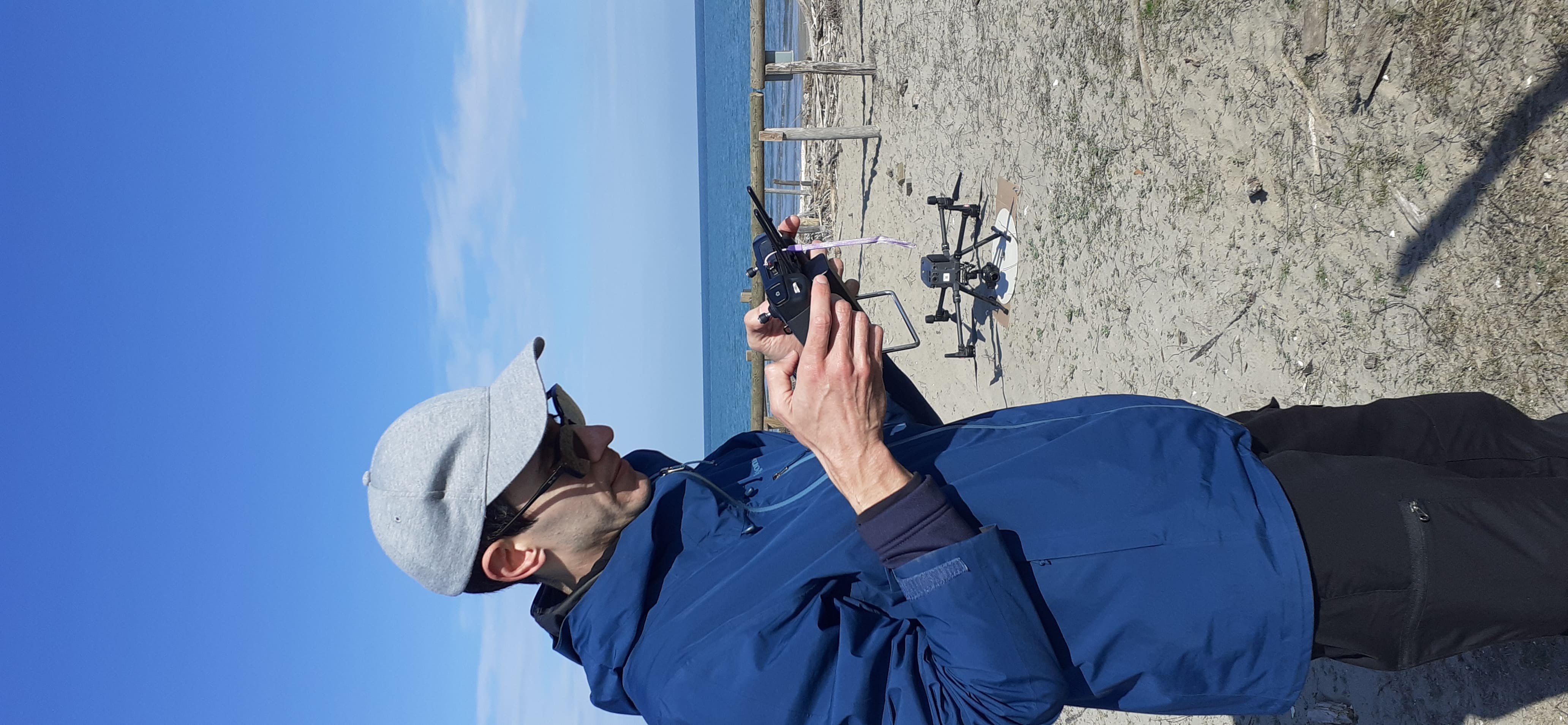
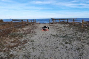
The Geomatics team from DICAM (Department of Civil, Chemical, Environmental and Materials Engineering) arrived at the site, utilizing the DJI Matrice 300RTK drone to capture exceptional aerial views. This operation involved acquiring aerial photographs and three-dimensional LiDAR data, facilitating the creation of an orthophoto and a striking 3D model of the study area.
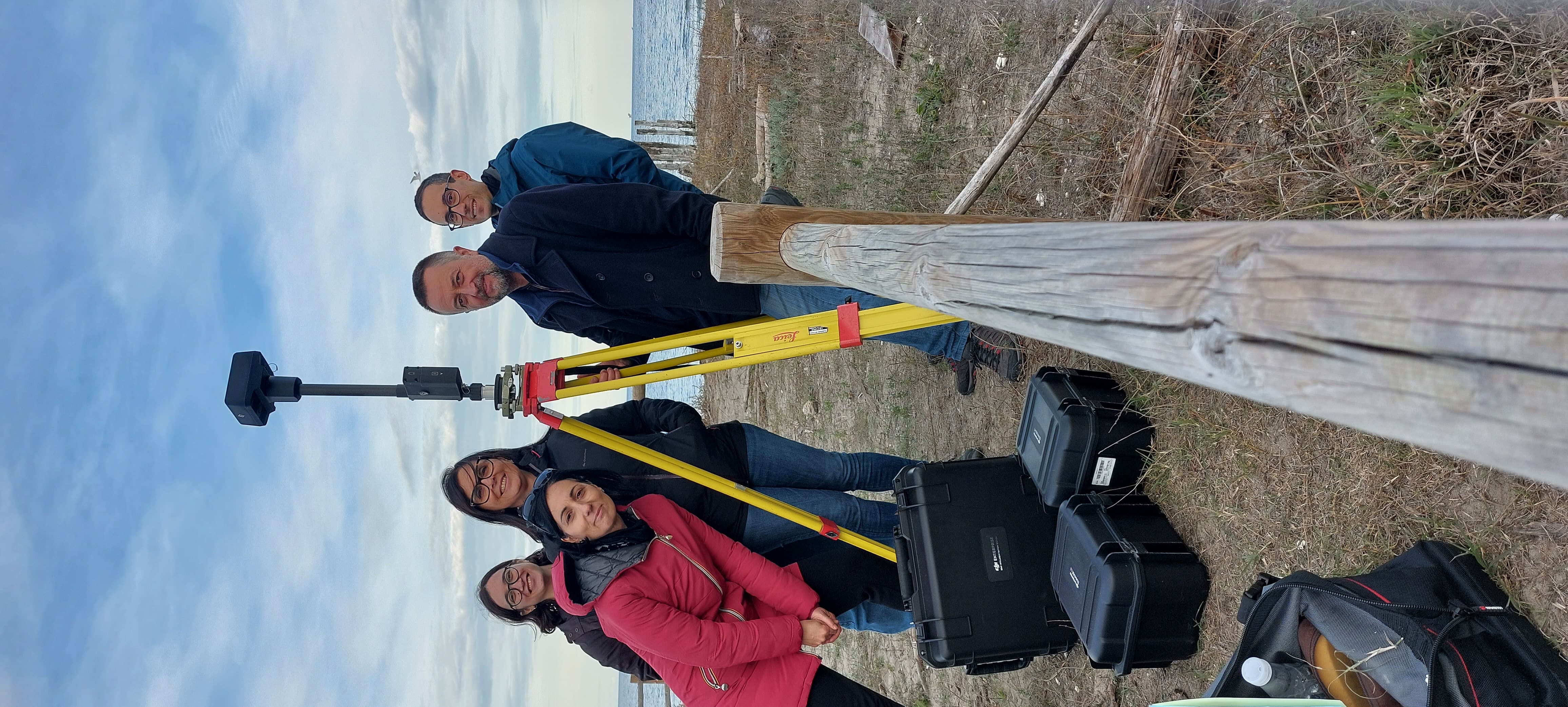
Leveraging the precision of GNSS technology, the team marked strategic points with circular targets across the area. These points not only ensure the absolute georeferencing of drone data but also integrate all survey data from project partners into a unified reference system.
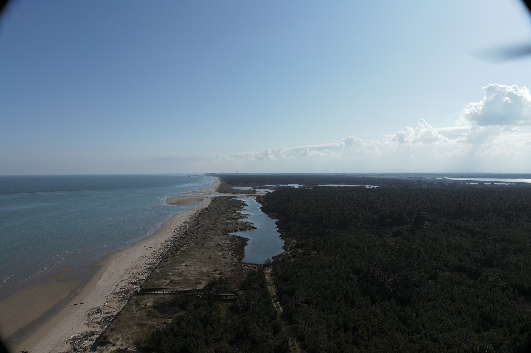
Survey activities continued in early March, with the Geomatics team returning to the Foce del Bevano to conduct topographical surveys. Utilizing the DJI Matrice 300RTK drone, they captured data spanning the entire project area, from north to south, providing a snapshot of the current beach condition before project barrier installation. This data will serve as a fundamental reference for ongoing monitoring efforts throughout the project duration, tracking changes in the area over time.
The DJI Matrice 300RTK remotely piloted aircraft was outfitted with several high-performance sensors, including a photogrammetric optical camera with a 45-megapixel full-frame sensor and a LiDAR sensor capable of capturing up to 240,000 three-dimensional points per second. On the ground, coordinates for a network of points were recorded using Topcon Hiper V GNSS instrumentation.
PROAMBIENTE researchers conducted surveys of the submerged portion using the OpenSWAP aquatic drone, automating geophysical surveys of the seabed. By planning precise navigation lines, the vehicle navigated routes and collected data from onboard sensors. Bathymetric and seismo-stratigraphic data were recorded to reconstruct the digital terrain model of the submerged area and estimate bottom sediment characteristics.
These surveys are part of WP2 (Habitat and biodiversity baseline, monitoring, evaluation, and KPI) - Task 2.2 - (Monitoring seabed morphology), forming an integral component of pre-barrier installation site analysis. Together with data collected from the emerged portion of the study area, they will inform modeling efforts regarding various site characteristics, including morphology, vegetation cover, coastline variation, and sand distribution, which can fluctuate seasonally, leading to erosion and deposition.
Subsequent phases of monitoring and site analysis will be conducted throughout the NatuReef project's various stages.
A visual testament to our collaborative efforts can be found in the accompanying photo gallery, showcasing the dedication and expertise of our diverse teams during the survey missions.