Date: 09 SEPTEMBER 2025
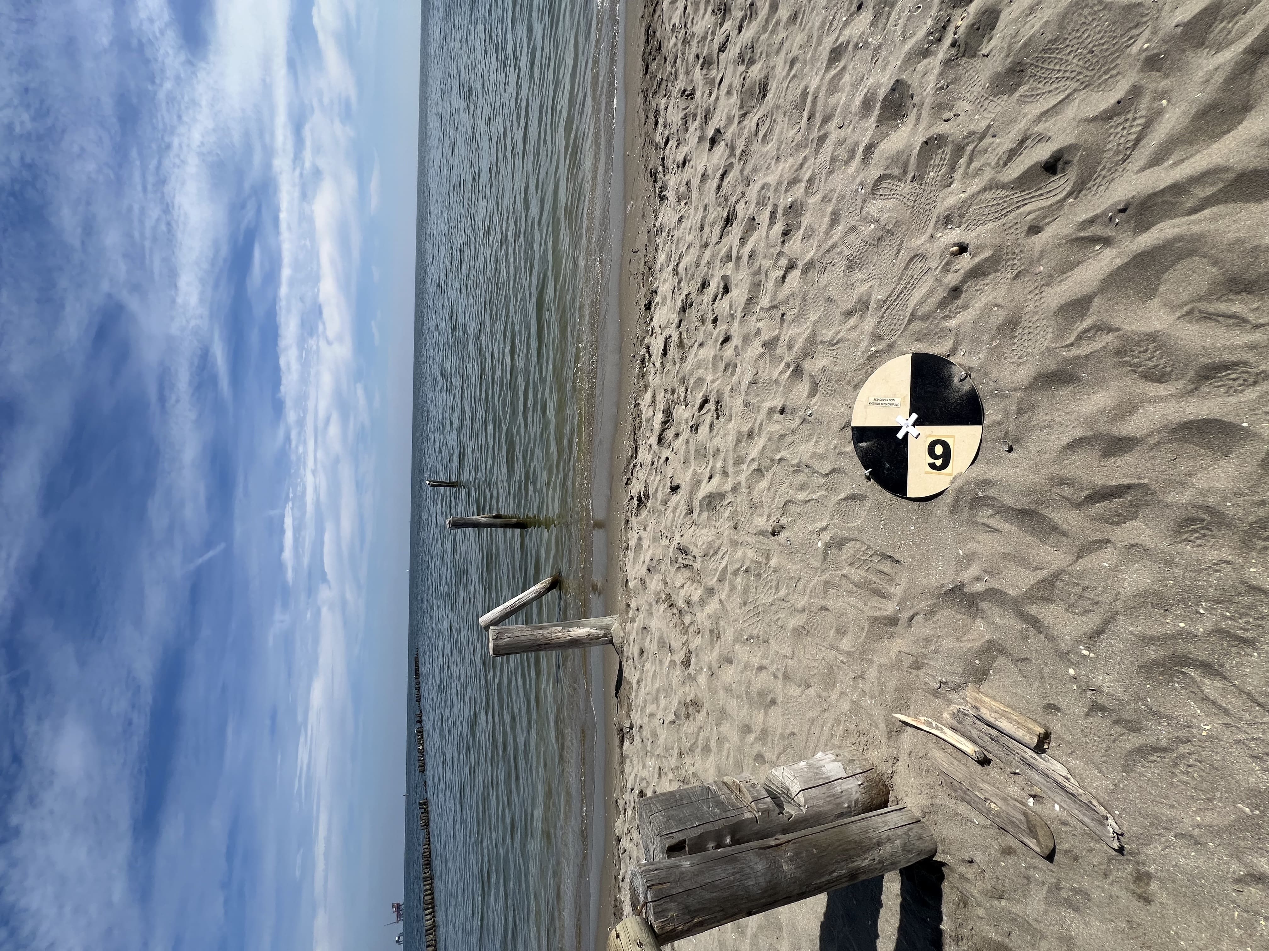
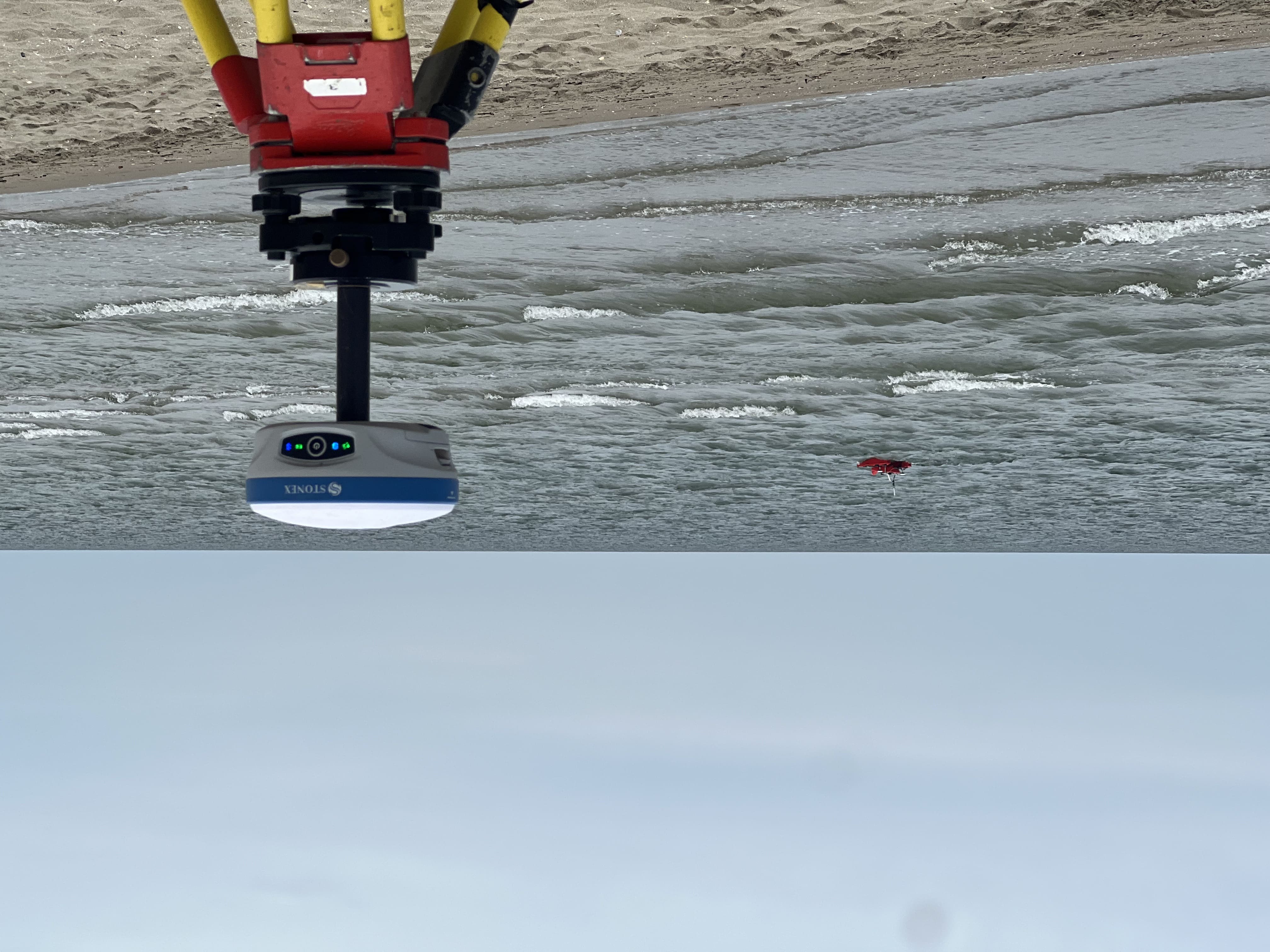
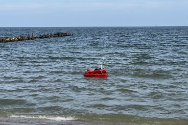
The Geomatics Group of DICAM carried out the periodic survey of the study area using an aerial drone equipped with a LiDAR sensor, acquiring the geometry of the beach and the dune area. In addition, the profiles of 19 transects perpendicular to the shoreline were measured with a GNSS receiver, useful for improving the integration between the topographic data collected by the drone and the bathymetric data acquired by OpenSWAP."