
Survey in Borsh and in Butrint
07 September - 04 October 2025
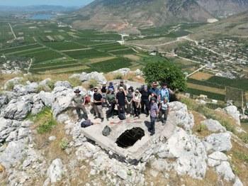
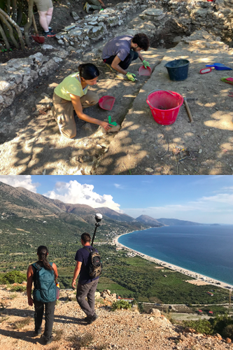
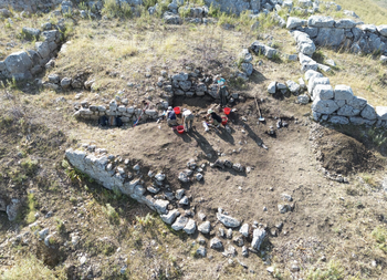
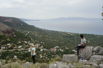
The 2025 Butrint Project campaign placed primary emphasis on the systematic survey of the Sopoti (Borsh) site, where the site was mapped and documented through topographic recording, GPS mapping, photography, photogrammetry, and laser scanning. The work focused on the acropolis, the Hellenistic and medieval fortifications, the slopes of the hill, the necropolis, and included detailed architectural documentation of all the structures and materials detected. This produced an integrated dataset forming the basis for future analyses and publications.
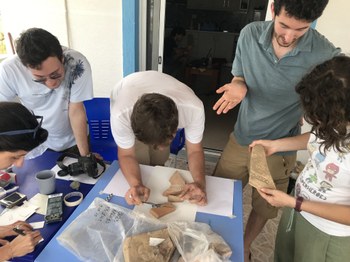
The campaign also advanced the study of materials from the excavations on the Butrint Acropolis through cleaning, cataloguing, and inventorying. Underwater and coastal surveys continued in the Alinura Bay, Vivari Channel, and Lake Butrint to assess seabed conditions, monitor previously identified structures, and record ceramic concentrations. Additional activities included interviews with local fishermen, especially the last traditional shipwright, and a photogrammetric and laser-scanning survey of a wooden traditional boat (sanal). Public engagement was strengthened through a briefing with authorized guides to present major results from the last ten years of research.