The presented drawings are a cartographic description of the current state of the natural space in the territory of the municipality of Bologna. The different scales of representations – 1:20.000, 1:10.000, 1:2.000 – allow to understand the quality and the distribution of natural spaces. The drawings are a support to appreciate the different situations from the countryside to the city centre. They also open to reflexions on the capacity of the Contemporary City to develop more resilience in front of Climate Change, and to propose alternative shapes and organizations in the Urban Design.
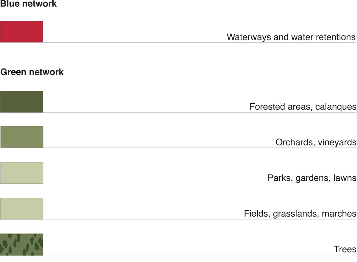
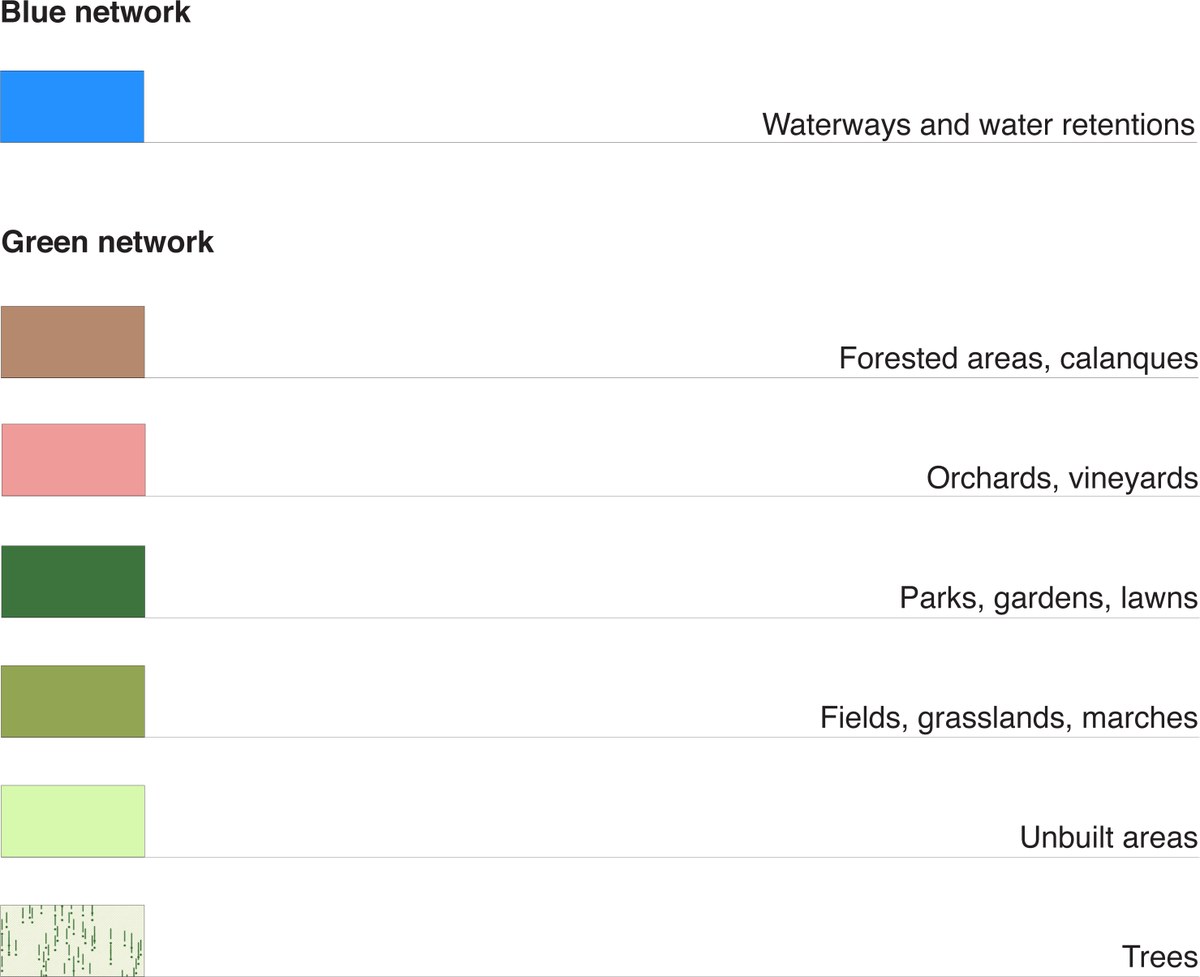
The Panels shows the dimension and qualities of natural spaces in the territory of Bologna. We do not identify land uses, but different shapes that built typical landscapes, as woods and calanques, orchards and vineyards, parks, gardens and lawns, lower grasslands and fields, and also water ways or retentions.
Panel I. The territory
Scale 1 : 20.000
The Panel I present the territory of Bologna. It identify morphologies and landscapes, but shows in the same time the different levels of rationalization of the agricultural plain, from the roman centuriatio to the most recent drainage system, and of the hills, where agriculture and breeding are mixed with forest spaces and eroded gullies. We can observe how the green and blue networks constitute the main elements of structuring of the territory, the fund for urbanization processes.
Panel II. The City
Scale 1 : 10.000
The Panel II presents the armature of natural spaces from the countryside to the city center. The diversity appears evident as well as the connexions among water and vegetal spaces. It shows the penetration in the natural territory by disseminated forms of urbanization, and the progressive consumption of agricultural land.
The panel allows to imagine a different urban structure built as an ecological network of various natural spaces, both public and private. It shows how the city outside the city center is built and displays the relevant presence of unbuilt spaces, which have a great incidence on the contemporary city. These unbuilt spaces can be considered as a resource for the social and ecological functioning as well as for the landscape of the city.
Panel III. The Historical City
Scale 1 : 2.000
The Panel III and IV raise the qualities of the ground level and of its unbuilt spaces.
In the Panel III, relative to the ancient part of Bologna, we can consider the continuity of the public spaces, identified by the mineral grounds, result of a complex historical stratification, and where the natural spaces are limited by private gardens, courtyards or boulevards.
Panel IV. The Contemporary City
Scale 1 : 2.000
The panel IV, representing a contemporary quartier, shows the consistency and the conflict between existing but abandoned buildings and infrastructures, new architectural objects and a great number of un-designed and unbuilt surfaces. These last spaces could be thought as natural spaces belonging to a continuous network of analogous natural spaces, that might constitute a condition to grow the resilience of our cities.